- Sport
Hike: Lathuile's Balconies
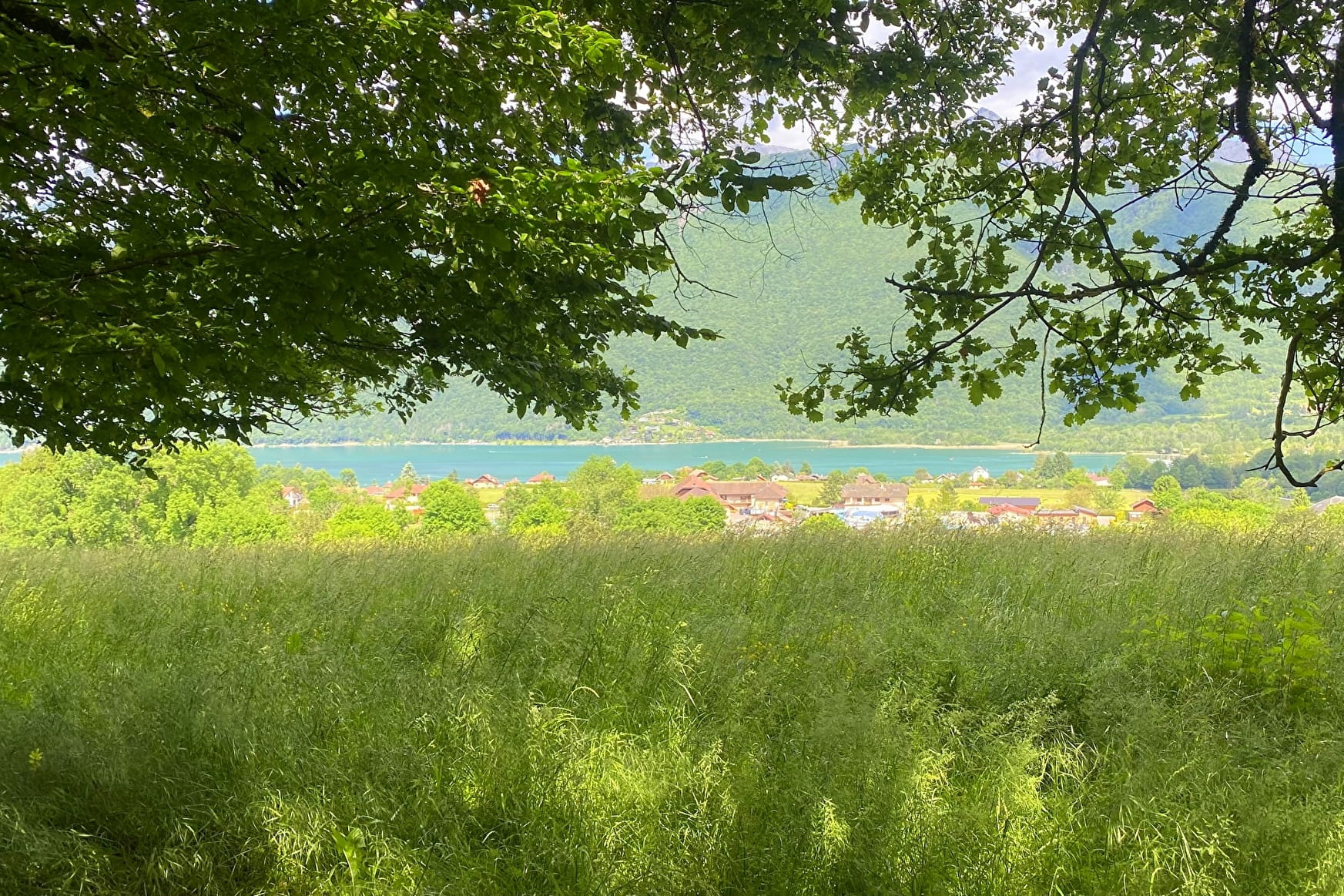
This hiking is easy, and great with the whole family. You will pass by the little track of the squirrels, then you will go above the village of Lathuile.
About

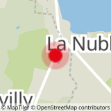
Map references
TOP 25 IGN 3431 OT Lac Annecy Touristic map for free at the Sources du Lac d'Annecy Tourist Office in Faverges - 2016 ed.
Further informations
Ground, Grit


1/ Follow the "sentier des écureuils" up to Lathuile Church.
2/ Keep going towards Chaparon then turn left to the Chemin de Nanceau.
3/ Continue the ascent (you can do the walking tour of Boucle de Nanceau to see the waterfall in Spring time).
4/ Then you reach the border of the firest where you will cross a small stream. Beautiful views are expecting you on the heights of the hamlets.
5/ Go back down to the bike path towards the lake so as to get back to your starting point, through the North.
Prices
Reception
Toiletts : Port-Beach Le Bout du lac Doussard (From the meeting point Lathuile/Le Pôlé, please cross the road D1508 and take the pass to join the Port-Beach)
Period of practice
Throughout the year : open daily.
- Pets welcome
- Car park


