- Sport
Hike : Around The Castle
Start : Parking Carré des Tisserands
From there take the road of "Thovey" then the path to go in the forest.
About

Further informations
Stone, Ground, Hard coating (tar, cement, flooring)


0/ Car Park Carré des Tisserands
1/ Follow the winding path that takes you to the Crêt de Chambellon.
Other possibility, stay straight until the Hamlet of "Gras d'en haut", before "le chemin des côtes" take on your right to join "le chemin de la Perrière". From here walk towards "Le chemin du Crêt" until the Crêt de Chambellon. ( add 3 km)
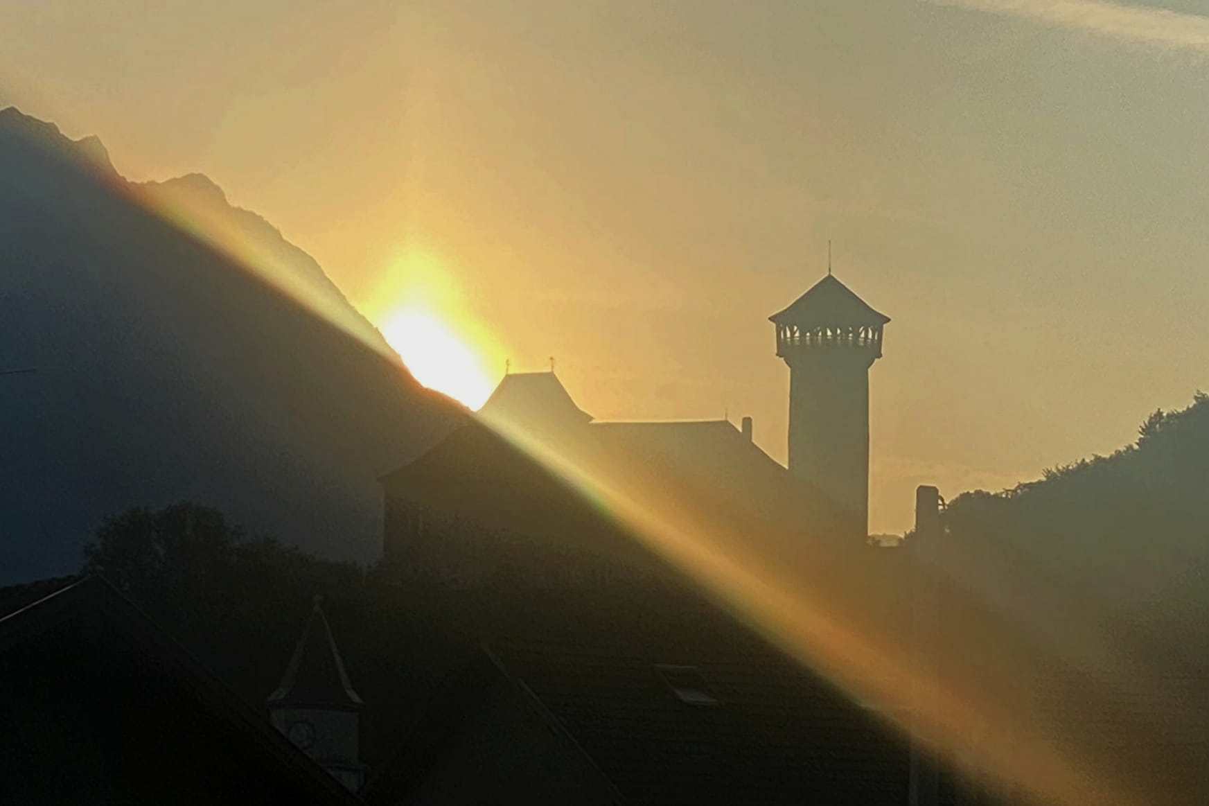
After you enjoy the landscape where you can spot historical centre of the city, close to the viewpoint, you will find olds wells. Take the path going down behind the remains.
2/ At the crossroads, take a left and go down towards Faverges Castle.
Once you get there a path goes down along the castle and takes you back to your starting point.
Prices
Free access.
Reception
Period of practice
All year round.
- Pets welcome

