From the Corruaz bridge, follow the Chemin du Paradis for 500 m on the right bank of the Arve. In front of the next bridge, Pont de la Forge, the Petit Balcon goes up to the right in the undergrowth. Cross under the Rochers du Raffort, then under the Flégère cable car in the large corridor of Les Lanchers (Flégère trail and track). Enter again the forest interrupted by the corridors of La Floria and Le Châble. Cut the paths going to the Floria and the Charlanon. Cross the couloir des Nants and the penstock of the electric plant. The path goes on, always at the same altitude and at a pleasant pace, sometimes in the forest, sometimes in clearings. It crosses the forest track shortly after the couloir des Plans, then joins the Planpraz trail: follow it for 150 m downhill and abandon it to go right horizontally. Cross under the Planpraz gondola and cut the path of the Petits Lacets de Planpraz to arrive in the big Couloir du Brévent. In the forest, at the fork in the road, leave the path on the right going up to Bel-Lachat. Continue flat above the Lakes and the Rochers des Gaillands by the Merlet path called "Sentier Henri VALLOT" (1853-1922), cartographer of Mont-Blanc (plaque on rock). Cross the Gaillands couloir, then a sparse wood. Go down to avoid a landslide, leave the path leading down to the Gaillands on the left and cross to reach the Ravin des Vouilouds (torrent). At this point, a path goes down to the left to join the Bossons.
Note. On the right the Petit Balcon Sud goes up to Merlet.
More information available at the Tourist Office or the High Mountain Office and in our trail guide.
Caution: Trail conditions are subject to change, so be sure to check before you leave.
- Sport
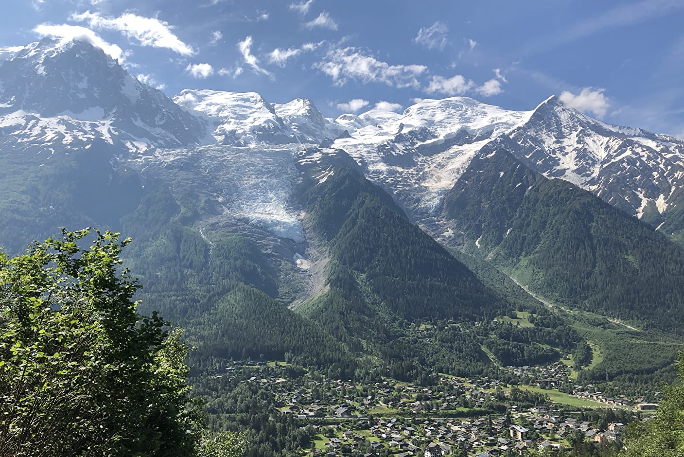
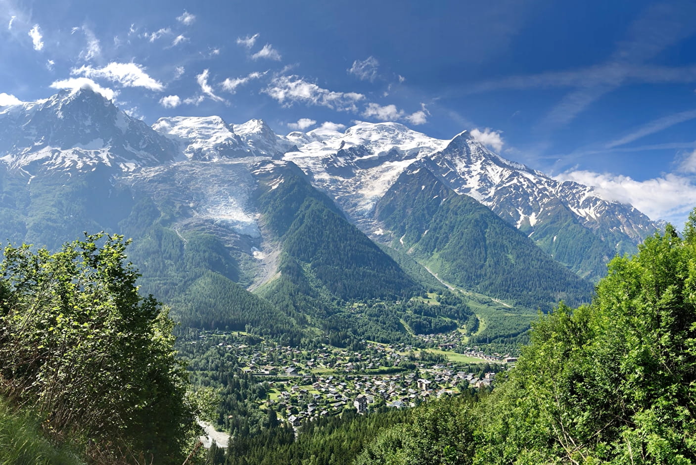
Hike along the Petit Balcon Sud: Les Tines-Les Bossons
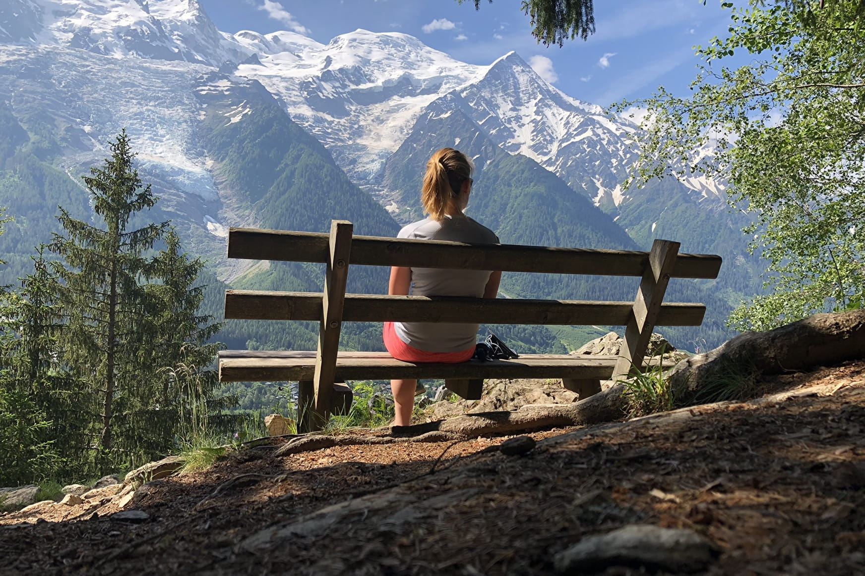
This path goes through the Chamonix valley, taking you to Servoz from Argentière.
All along, there are wonderful views over the Valley and the Mont Blanc Massif.
Sport Hike along the Petit Balcon Sud: Les Tines-Les Bossons Chamonix-Mont-Blanc
About

Further informations
Stone, Ground
1 5


Prices
Free of charge.
Reception
Period of practice
From 01/05 to 31/10.
Subject to favorable snow and weather conditions.
Services
- Pets welcome
Contacts
Access
Arrival Les Bossons : 1014 m
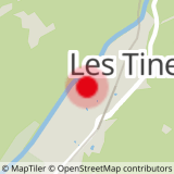
Closest bus stop : Les Tines
Closest train stop : Les Tines train stop
Closest parking : Les Tines car-park