• Sport

Grey route - Valleiry - Jurens

This route allows you to rejoin the 'In the footsteps of the Huguenots' route known as 'A la Goille' and passes close to the A40 service station, You can then continue as far as Jurens, a hamlet in Dingy.

Sport Grey route - Valleiry - Jurens Valleiry

About
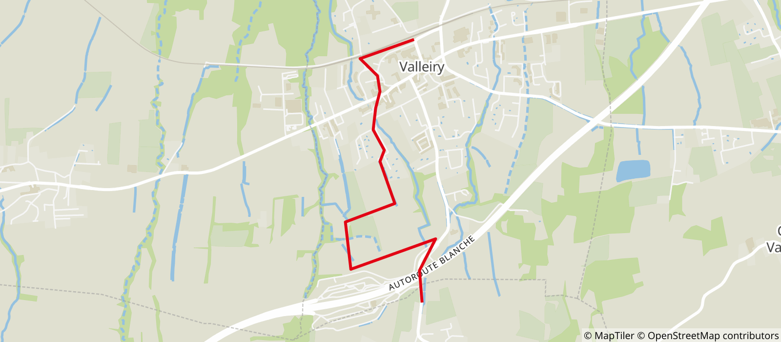
Departing from Valleiry (74520)
Average length : 00h45
Total elevation gain : 135m
Distance : 3km
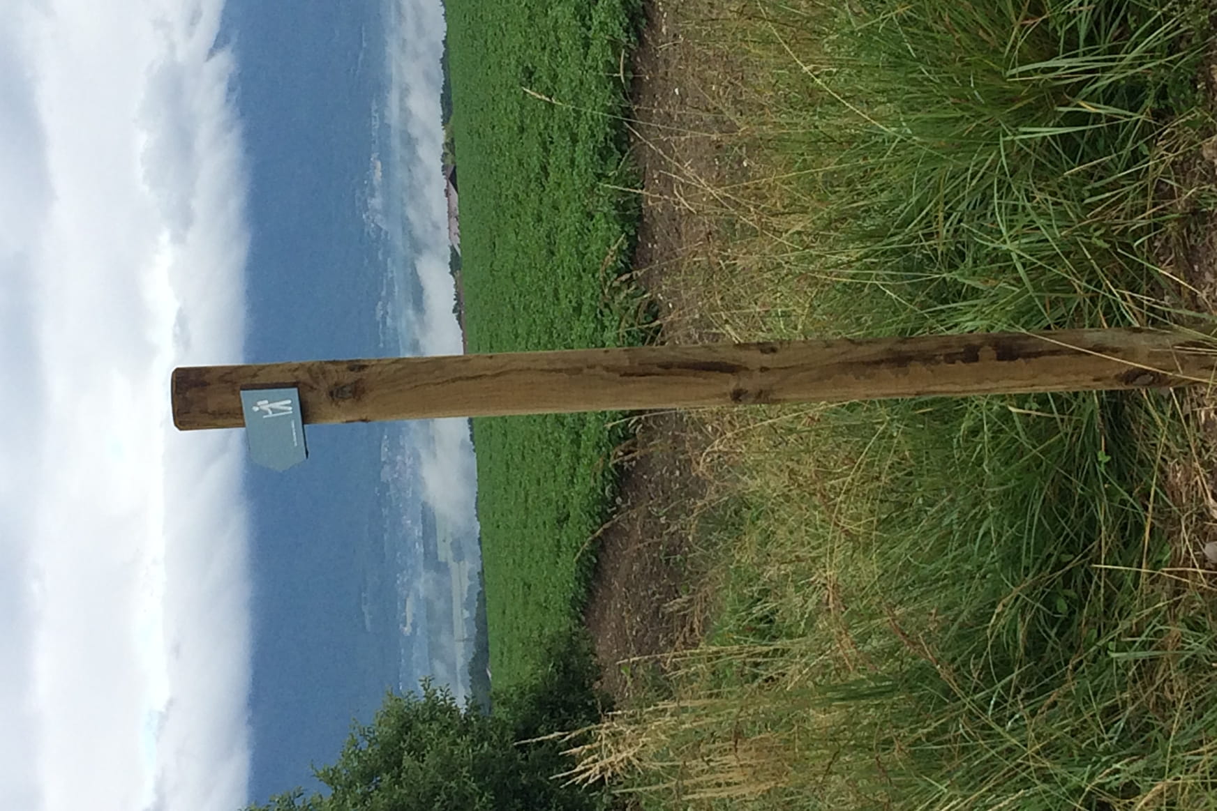
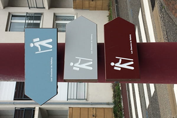
Signed walking trail
Animals allowed

Itinerary
Total elevation gain : 135m
Altitude max : 540m

Further informations

Hard coating (tar, cement, flooring)

    1 1

    Prices

    Free access.

    Reception

    Animals allowed
    Adapted to all-terrain strollers

    Period of practice

    All year round.

    Services
    • Pets welcome

    Access

    74520 Valleiry
    Departing from : Valleiry (74520)
    Latitude : 46.108059 - Longitude : 5.96789
    Information update on 09/07/2024 by Office de Tourisme des Monts du Genevois