From the cable car station, go down towards the Refuge du Plan de l'Aiguille. Do not take the two paths going down to Chamonix by the Plan du Trois or the Pré du Rocher. Go right horizontally on the path that crosses the Tapia, the torrent and the bottom of the moraines of the Blaitière and Nantillons glaciers.
At this point, leave the Chamonix trail on the left through the Alpages de Blaitière.
Continue horizontally crossing the torrent of Grépon. Above
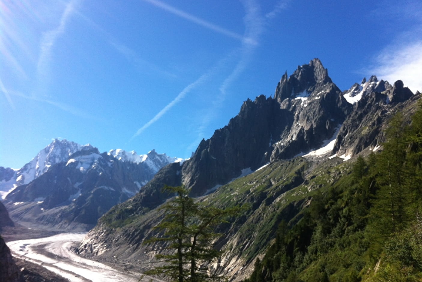
Grand-Chalet, take a moment of rest to admire the impressive panorama of
of the Aiguilles de Chamonix : I'M, the Charmoz, Blaitière, the Plan, the Aiguille du Midi... and the Mont-Blanc.
Shortly after, at 2071 m, a fork in the road: on the left a steep shortcut leads to
to the Montenvers by cutting steep corridors dangerous in case of snow (diff. :
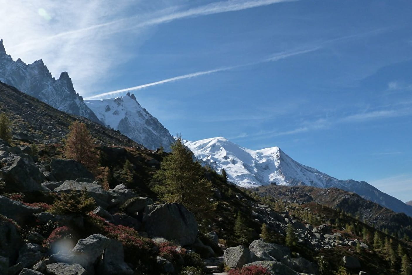
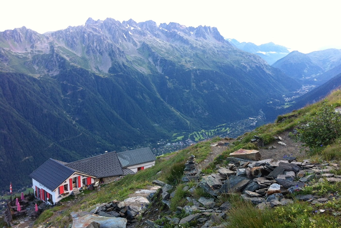
for experienced hikers). Take the panoramic path on the right by a winding ascent and a crossing that leads to the lower Signal des Charmoz, then to the Signal Forbes (2 198 m). The view changes suddenly: the Drus, the Verte, the Jorasses... Descend on the Mer de Glace side a large slope by big laces to reach the Montenvers, the hotel and the train station.
Possibility to do it from Montenvers to the Aiguille du Midi.
In summer, remember to reserve your skip for the Plan de l'Aiguille because the number of people using the cable car is high.
Check dates and opening hours before leaving.
More information is available at the Tourist Office or the Office de Haute-Montagne and in our trail guide.
Warning: Trail conditions are subject to change, so please check before you leave.
- Sport
Grand Balcon Nord: Plan de l'Aiguille du Midi-Montenvers

This hike is located on the northern side of the valley, in the middle of the mountain.
The departure and arrival points are served by ski lifts.
The route is described in the most pleasant sense : view, difference in level
Sport Grand Balcon Nord: Plan de l'Aiguille du Midi-Montenvers Chamonix-Mont-Blanc
About

Further informations
Stone, Ground
1 6


Prices
Plan de l'Aiguille return ticket is available for the way down with the train and on the other way also.
Reception
Period of practice
From 15/06 to 31/10.
According to lift opening.
Subject to favorable snow and weather conditions.
Services
- Accessible via ski lift
Contacts
Access
Arrival at Montenvers station at 1913 m
Closest bus stop : Chamonix Sud
Mulet stop : Le Grépon Tremplin
Closest train stop : Chamonix Aiguille du Midi train stop
Closest parking : Le Grépon car-park