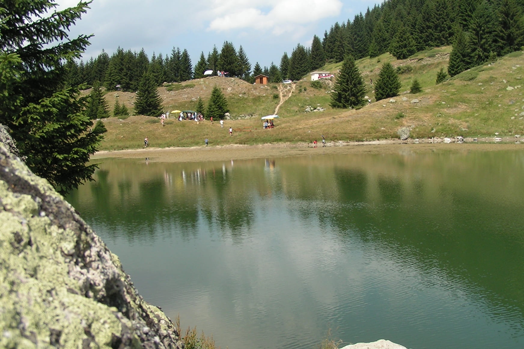
You can park your car at the Preney hamlet, below the Montgellafrey village. The path goes up on the road of the Preney hamlet. Continue on the track on your left, going around the hamlet. Follow it for about 800 meters before turning on your right at the directional marker. Take on your left towards «Le Poizat» and take on the left towards the «Rocher de la Mort». Once you’re at the «Plan des Fées», take a passageway in the woods on your left, overhanging the road. Then continue on the opposite pist. After the «Sapey des Baracons», take on the left when you arrive at a turn of the road. Go back to the path to the «Lac de la Grande Léchère»
- Sport
From the Preney to the "Grande Léchère" lake refuge (7)
[Montgellafrey area]
Red level (medium) itinerary. 4km long and around 2h duration.
Sport From the Preney to the "Grande Léchère" lake refuge (7) Saint François Longchamp
About

Prices
Free of charge.
Reception
Period of practice
From 01/07 to 31/08.
Services
- Pets welcome