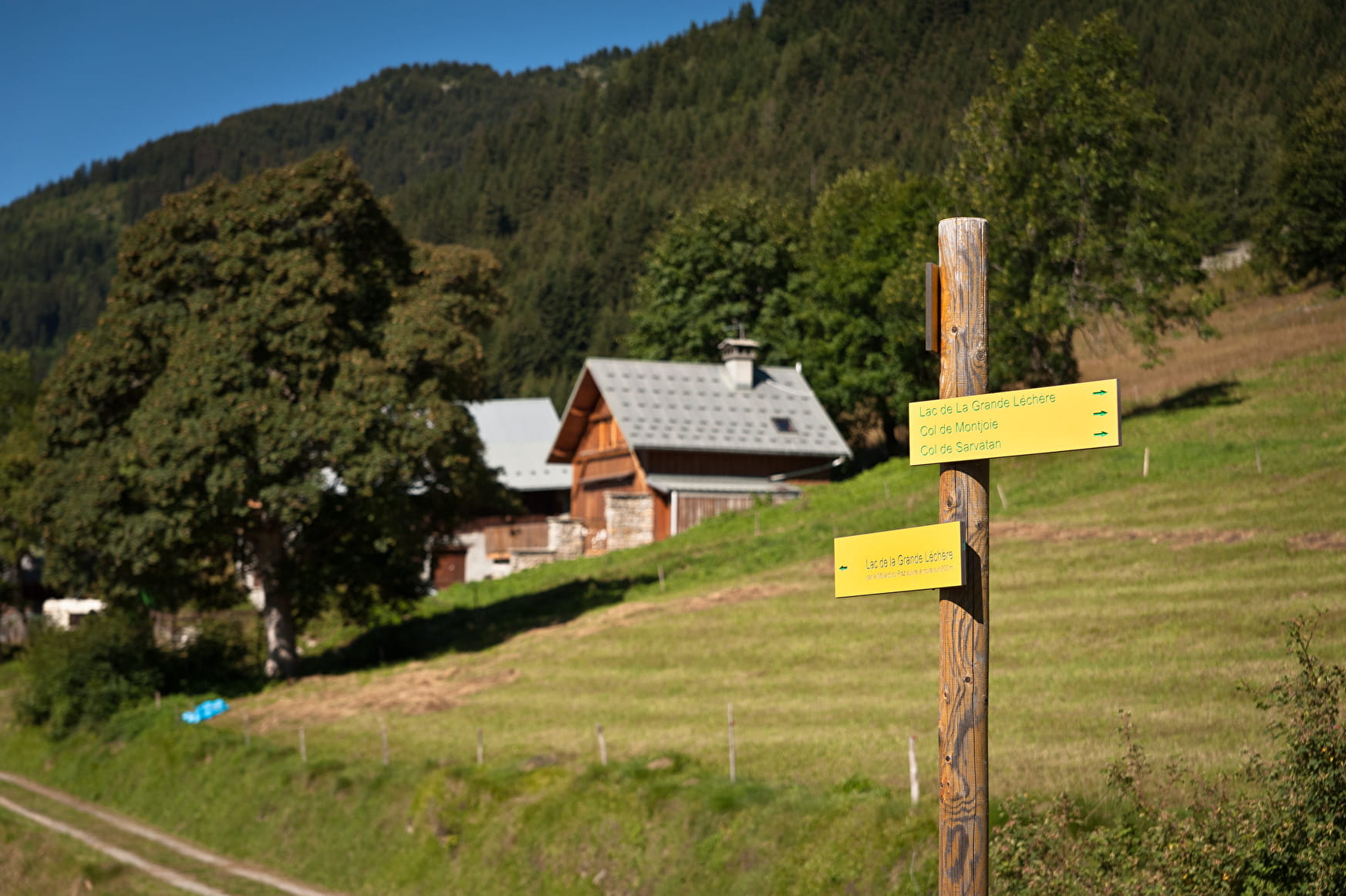
From the parking lot at the entrance of the Montgellafrey village, follow the main road to the local bread oven. Take on your left and go up towards the «Chargeux». Continue to go up on the path. You arrive at a crossing with the road. Take the path in front of you. Take the direction of the «Mollaret» and then the «Andrés» hamlets. Then reach the «Vinits» and the «Cartiers». Arrived at the «Cohendets» let them on your left and go up to the lake.
- Sport
From Montgellafrey to the "Grande Léchère" lake (6)
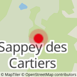
[Montgellafrey area]
Red level (medium) itinerary with an ascending elevation of 675m. The hike lasts around 3 hours. This path is for people having experience and skills for hiking.
Sport From Montgellafrey to the "Grande Léchère" lake (6) Saint François Longchamp
About

1 1

Prices
Free of charge.
Reception
Dogs allowed. They must be kept on leash.
Period of practice
From 01/07 to 31/08.
Services
- Pets welcome
- Public WC
