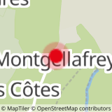
Starting point at the parking lot at the entrance of Montgellafrey, take the main road of the village to the bread oven. After the oven, you arrive at an intersection. Take the road on the right (and not the one going up with a no-entry sign) to the last houses and continue on this path. You meet a wooden sign «Montgellafrey- Le Bey». Go down towards the Bugeon stream. You arrive at an intersection; let the track going down straight on and take the one going slightly up on the left. Cross the stream and go up the other side to the Covatières.
- Sport
From Montgellafrey to the Covatières (2)
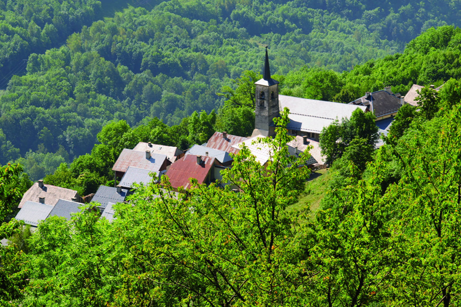
[Montgellafrey area] 2 Km blue level path (easy) with a positive elevation of 117m and a negative elevation of 257m.
Sport From Montgellafrey to the Covatières (2) Saint François Longchamp
About

Topoguides references
Hinking guide, summer 2016, edited by the Tourist Office of Saint-François Longchamp.
Prices
Free of charge.
Reception
dogs kept on leash are allowed.
Period of practice
From 01/07 to 31/08.
Services
- Pets welcome