The path starts from the car park at the church and follows the long-distance "Balcon du Léman" path to see the Vuache and its outstanding plant life. There are breathtaking views on the Alps, the Annecy Basin, the Rhône Valley and the Jura. When you return to Chaumont, visit the emblematic ruins of the mediaeval castle built in 1124 by the Counts of Geneva, the Sainte Agathe de Chaumont church with its Gothic choir and doorway topped by a tympanum containing a trefoil Cross, the Barbannaz waterfall and the Pisieu Bridge.
A free leaflet is available on request from the Syndicat intercommunal d’Aménagement du Vuache (SIAV).
Documentation available from Town Halls, Tourist Offices and local shops: detailed 1:25,000 map of footpaths in the Vuache area (4 €) and the FFRP trail guide (Pays du Salève et du Vuache... à pied" (13.30 €)
- Sport
From Chaumont castle to Vovray
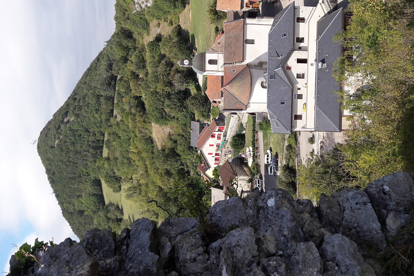
At the south-eastern tip of Mont Vuache, there is a largely shaded path leading into the heart of the village of Chaumont, up to restored pastures and through the hamlets of the piedmont plain.
About

Topoguides references
Guidesbook of 37 walks and hikes: Pays du Salève and the Vuache by foot Guidebook n° 11 - Le Plateau des Daines (Haut-Rhône Tourisme)


GAEC "La Treille", 74279 Chaumont - Sale of AOC Savoie white wine.
Auberge du Pralet, 74270 Chaumont - Traditional cuisine and specialities from South-Western France.
Prices
Free access.
Reception
Wear hiking boots and appropriate clothing in wet weather. To avoid disturbing the wildlife and farm animals, please stay on the footpaths and keep your dogs on a lead.
Period of practice
Throughout the year : open daily (Not recommended in bad weather).
- Pets welcome
- Public WC
- Car park
- Orientation board
Contacts
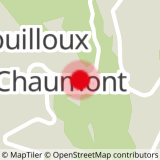
Access
Information panel at the beginning of the path.


