- Sport
Cyprien trail
A family walk on a path crossing villages and streams


About

Further informations
Stone, Ground
0/ Set off from the basin opposite the town hall.
1/ The path is indicated by a sign "Sentier de Cyprien".
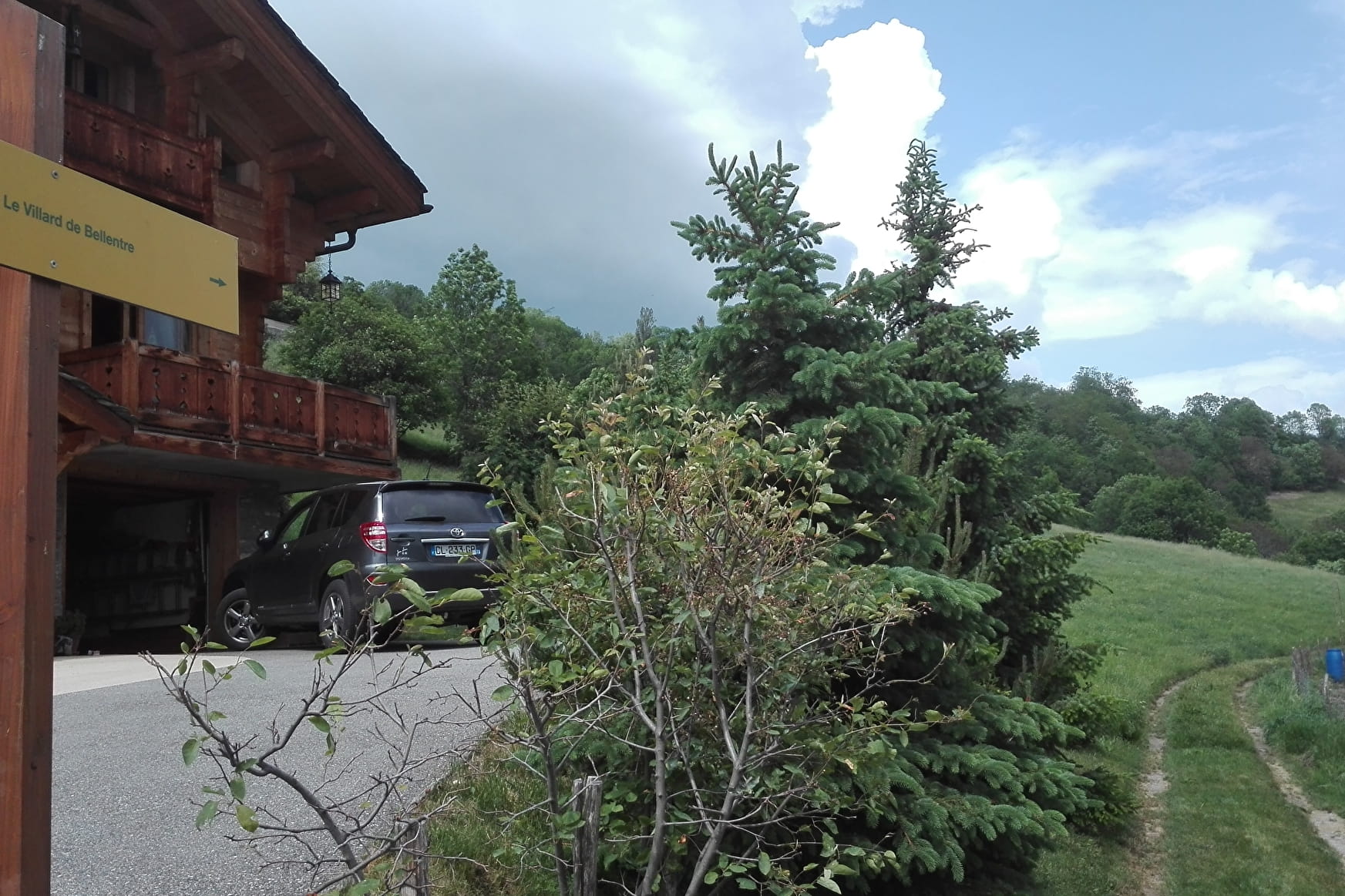
2/ At Le Villard de Bellentre, go through the village and follow signs to "Le Rocheray" then follow the GR5 trail.
Prices
Free access.
Reception
FOR YOUR PLEASURE AND SAFETY
Safety rules
• Check the weather forecast before you leave.
• Avoid going alone. Tell someone that you are leaving and your planned route.
• Don't forget to drink, eat and take breaks during the hike.
Equipment
• Wear good shoes and clothes that are suitable for the mountains.
• Take with you: sun cream, hat, sunglasses, warm clothes and rain gear, a mobile phone in case of problems.
• Take a map with you. This map is given as an indication, it does not replace the IGN maps.
Good conduct
• Stay on the marked paths and avoid mowed fields.
• Respect the environment.
• Watch out for herds of animals, keep your dog on a lead.
• Please take your rubbish away with you.
In case of accident: 112 or 18
Weather: 32 50
Period of practice
From 01/01 to 31/12.
According to snow cover.
- Pets welcome
- Defibrillator