• Sport

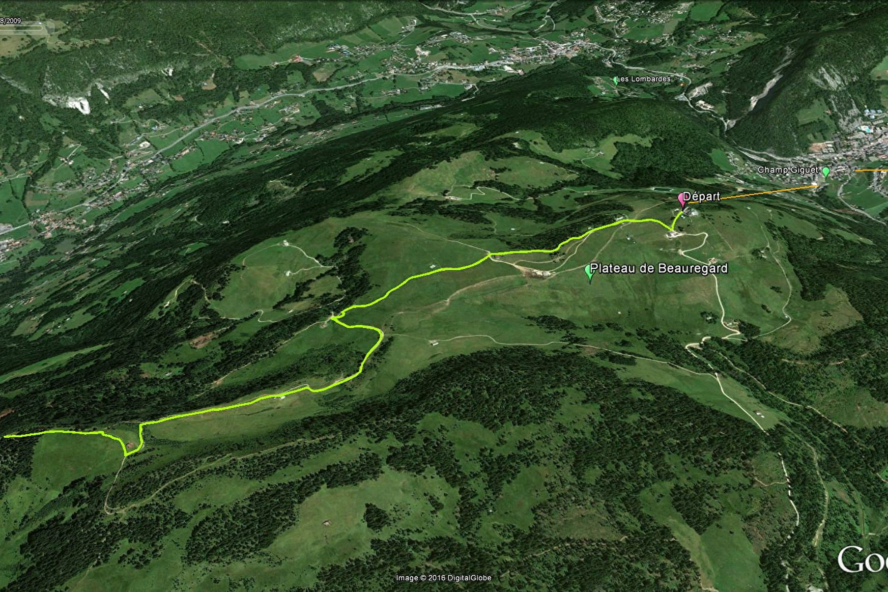
Croix de Colomban

Sport Croix de Colomban La Clusaz

About
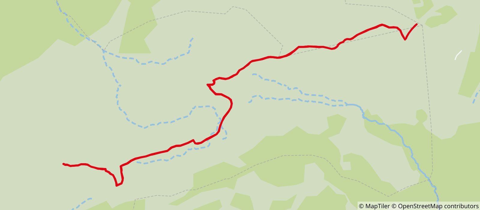
Departing from La Clusaz (74220)
Average length : 01h45
Total elevation gain : 284m
Vertical drop : 284m
Distance : 7km
Signed walking trail

Way and back
Total elevation gain : 284m
Altitude max : 1691m
Vertical drop : 284m

Map references

Route map: TOURNETTE | BORNES | ARAVIS available at the tourist office for €5. IGN Top 25 Map 3430 ET La Clusaz - Le Grand Bornand available in station shops.

Further informations

Stone, Ground

Period of practice

From 01/05 to 31/10.

Equipments
  • Covered picnic area
  • Public WC
  • Picnic area
  • Orientation board

Access

Pointe de Beauregard 74220 La Clusaz
Departing from : La Clusaz (74220)
Latitude : 45.886382 - Longitude : 6.380245
Information update on 06/11/2024 by Office de Tourisme de La Clusaz