- Sport
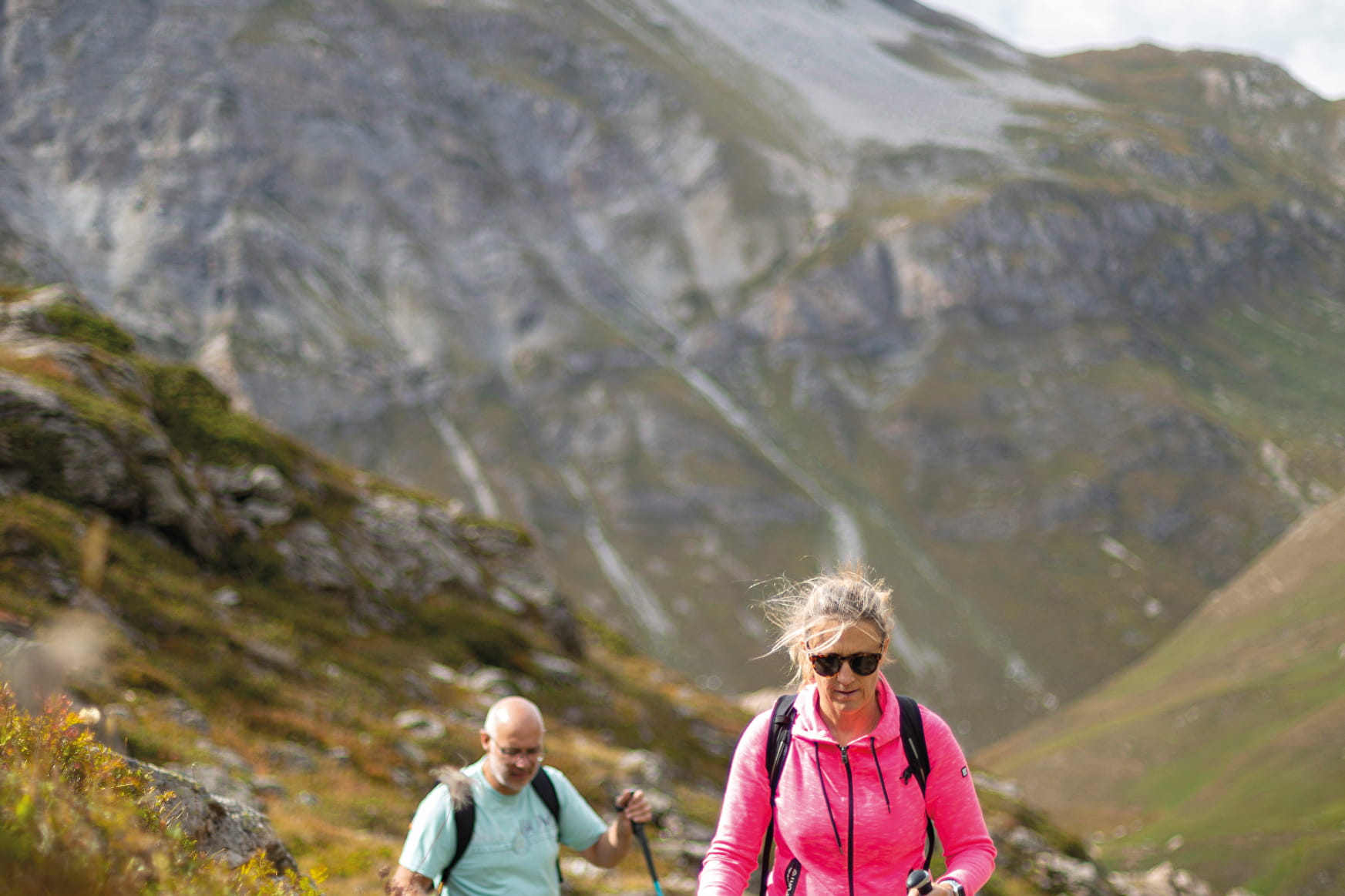
Col et lac de la Bailletta depuis le Fornet

About

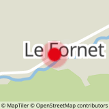
Map references
OS map 3633ET Tignes Val d'Isère
Further informations
Ground
Prices
Free access.
Reception
Period of practice
From 01/06 to 31/10.
Subject to favorable snow and weather conditions.