It can be done by trained walkers as well as sports families, but is not recommended for novice walkers or those who do not have a minimum condition because of its length and elevation.
After a start on a moderate ascending portion of about 1.5 km through the pretty meadows of Foyères (1137 m), the path rises a little more in the forest.
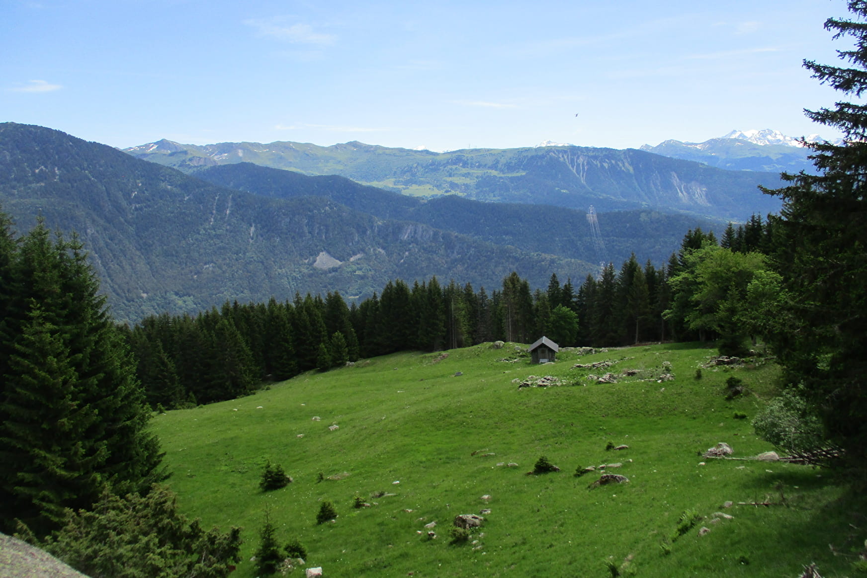
After a good climb, you reach the alpine pasture of Montagne d´en Bas (1515 m) then that of Montagne d´En Haut (1615 m), both grazed by a herd of goats during the summer period. You then benefit from a flat area which will allow you to recover. The route then offers you some superb views. You also pass close to a pretty wetland. To reach the Col de l'Arc (1854 m), the course then alternates between wide forest paths and small paths. Near the Col, you enter a new, well-cleared alpine area with the summit of Mont Bellachat (2484 m) in focus. An open chalet, well equipped but not guarded, is located at the pass.
You then descend through alpine pastures and forest, pass in front of the chalet de la Fraitière (1650 m) and sometimes walk along the parks with sheep. You then pass close to the herding protection dogs. Be calm and passive, go around the park and never cross the herd.
You reach your starting point by alternating wide path and small path.
No particular technical difficulty.
- Sport
Col de l'Arc - B3
Route to climb the Col de l'Arc (1870 m) in the La Lauzière range. You will appreciate the diversity of the landscapes with views of the Tarentaise valley, the Beaufortain, the Vanoise and the surrounding peaks of the Lauzière massif.
Sport Col de l'Arc - B3 La Léchère
About

1 2


Prices
Free access.
Reception
Period of practice
From 01/06 to 31/10.
Services
- Pets welcome

