- Sport
Clou Chalet Lake
This is the ultimate family hike! Your kids will have fun watching marmots, tadpoles, and frogs in their natural habitat.

About

Further informations
Rock, Stone, Ground, Grit
1. The route takes path no. 38 which leads to the Valette refuge. The climb (a little difficult) takes place in the alder grove of “Bévériers”. In the Cirque des Nants, shrubs gradually give way to grassland.
2. From the Chalet des Nants, the path branches off to the right and crosses many streams with sometimes high flow during snowmelt or following a storm.
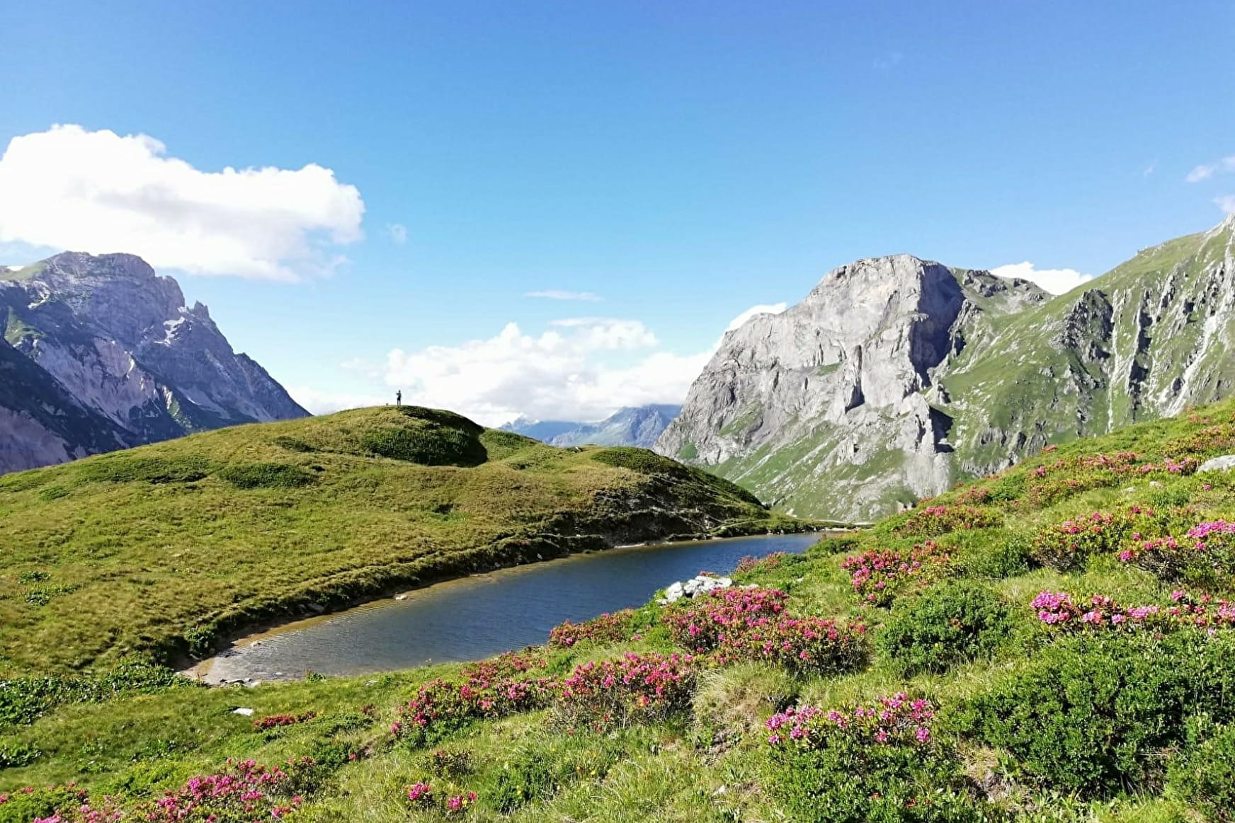
3. The path follows the boundary of the Vanoise National Park, materialized by blue, white and red flags painted on the rocks. It is on a balcony above the Chavière valley, up to the Plan des Bôs. You can admire, on the other side of the valley, the Roc de la Pêche and the Aiguille de Chanrossa.
4. Along the way, before the Plan des Bôs, you will come across the ruin of the "Chalet Clou". Near the lake, frogs and tadpoles will delight your children.
On the shores of the lake, budding trappers can go in search of animal tracks.
5. After the Plan des Bôs, the route passes by the chalets of Montaimont and follows the pastoral track to the parking lot of the Pont de la Pêche. The Prioux car park is located about ten minutes below.
Prices
Free access.
Reception
Period of practice
From 15/06 to 31/10.
Subject to favorable snow and weather conditions.
Contacts
Access
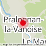
Parking nearby : Prioux car park