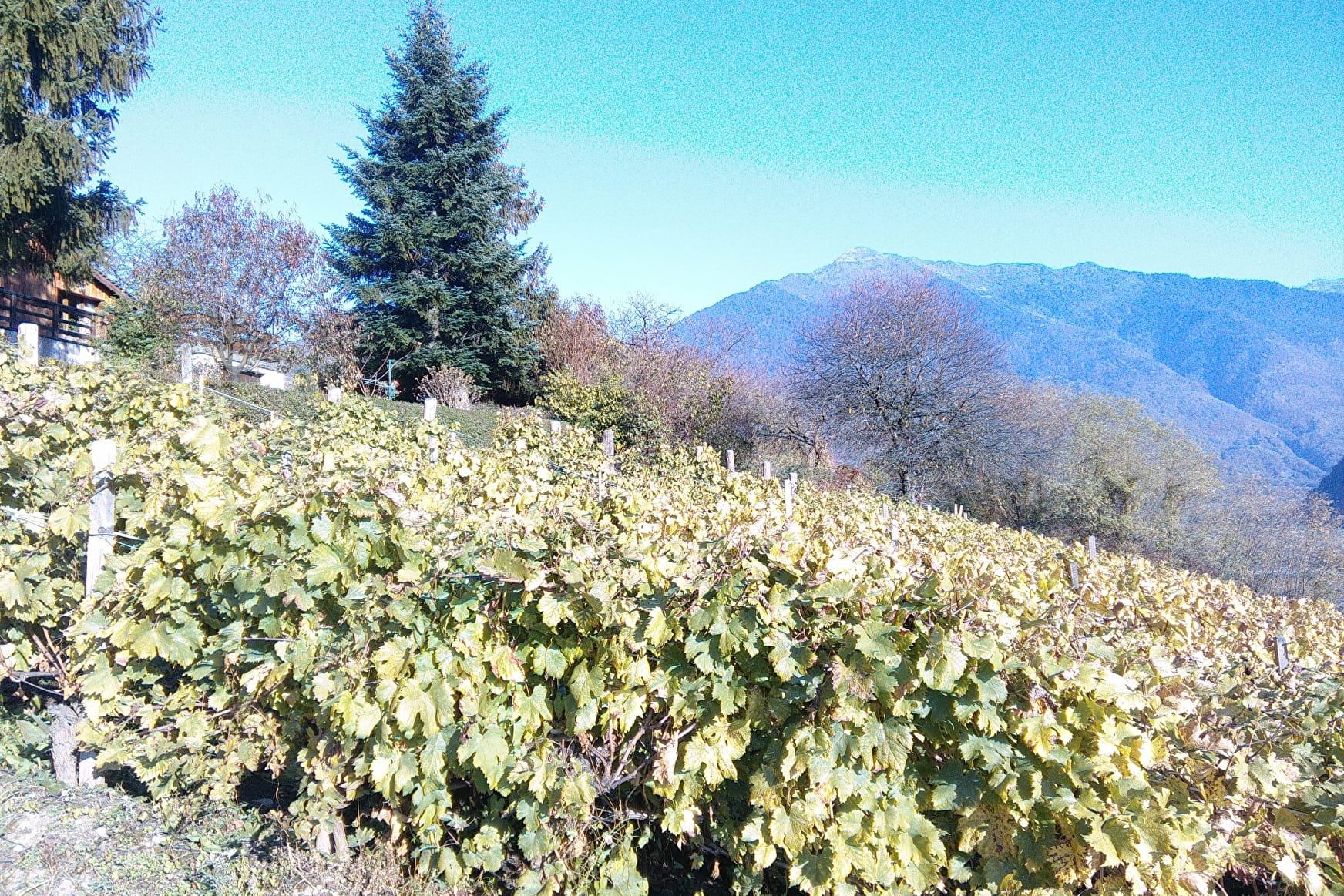
• Sport

Chemin des vignes

Sport Chemin des vignes Aiton

About

Departing from Aiton (73220)
Average length : 00h50
Total elevation gain : 70m
Vertical drop : 70m
Distance : 2.3km
Signed walking trail

Way and back
Total elevation gain : 70m
Vertical drop : 70m

Further informations

Ground, Hard coating (tar, cement, flooring)

    1 1

    Prices

    Free access.

    Reception

    Languages spoken : French

    Period of practice

    All year round.

    Subject to favorable snow and weather conditions.

    Equipments
    • Car park
    • Picnic area

    Access

    155 Route de Randens 73220 Aiton
    Departing from : Aiton (73220)
    Latitude : 45.560829 - Longitude : 6.256888
    Information update on 13/05/2024 by Office de Tourisme Porte de Maurienne