• Sport

Champ Ruel return

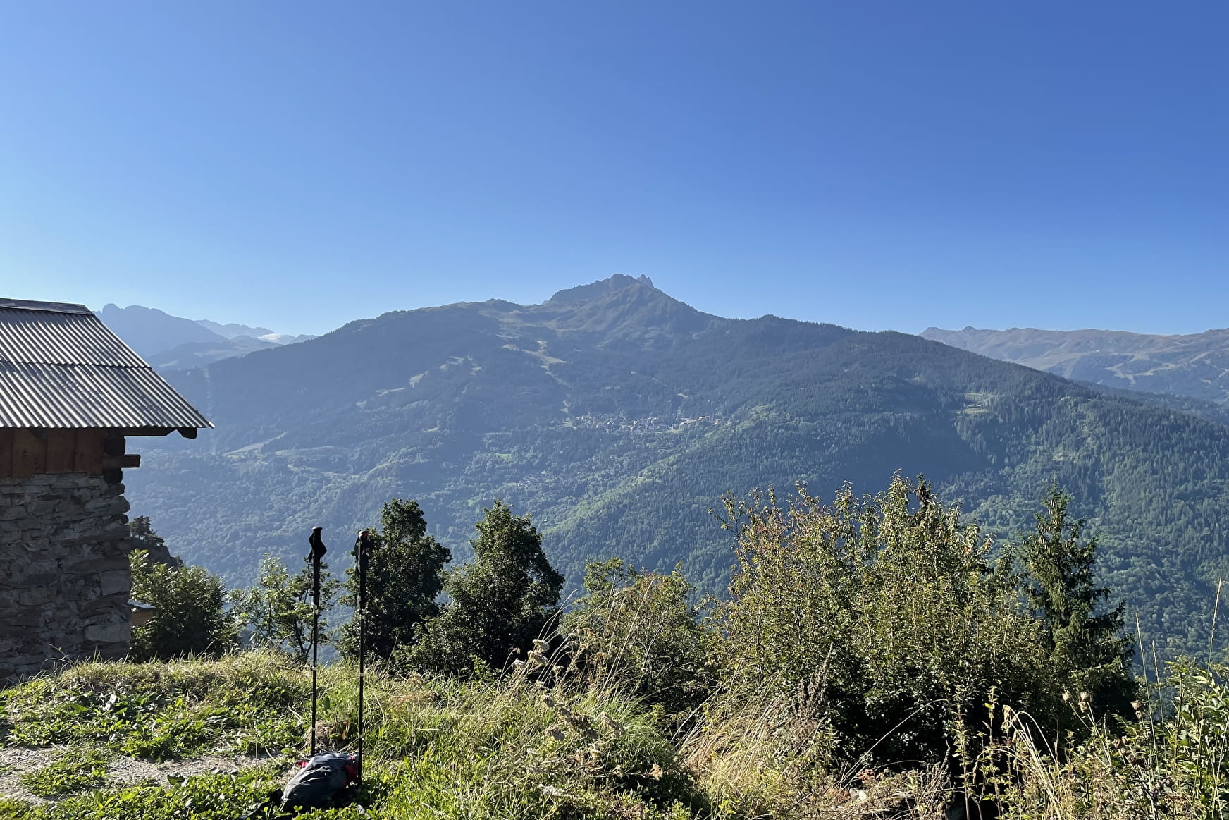
Itinerary: First follow the direction of the ND des Neiges path. Then at the top of the village follow Champ Ruel path through the forest. You will take then a dirt road for few meters before arriving at the village.

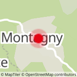
Sport Champ Ruel return Montagny

About

Departing from Montagny (73350)
Average length : 01h45
Total elevation gain : 350m
Vertical drop : 350m
Distance : 4.3km
Signed walking trail
Animals allowed

Way and back
Total elevation gain : 350m
Altitude max : 1370m
Vertical drop : 350m

Further informations

Ground

    1 4

    Prices

    Free access.

    Reception

    Animals allowed
    Languages spoken : French
    Languages of documentation : English, French

    Period of practice

    All year round.
    Hike possible to do with snowshoes in winter.

    Services
    • Pets welcome
    Equipments
    • Car park

    Access

    Eglise 73350 Montagny
    Departing from : Montagny (73350)
    Latitude : 45.456 - Longitude : 6.5923

    More informations

    Information update on 18/04/2024 by Communauté de Communes Val Vanoise - Vallée de Bozel Tourisme