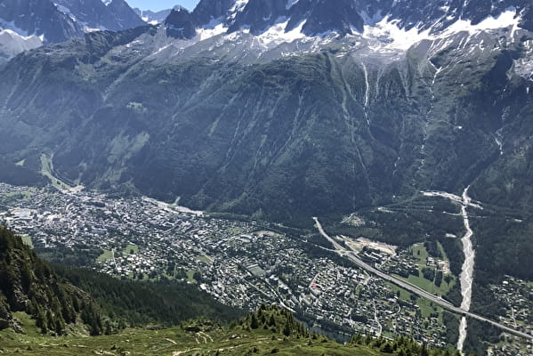
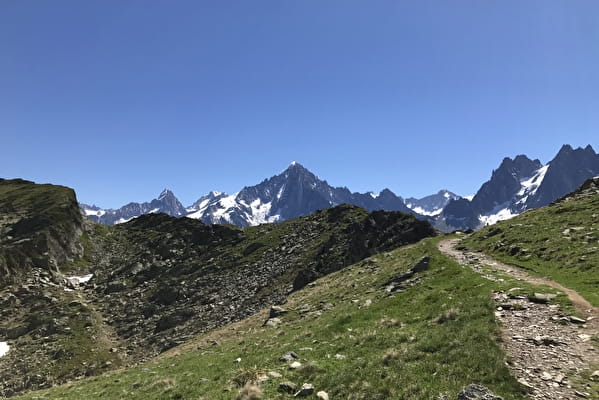
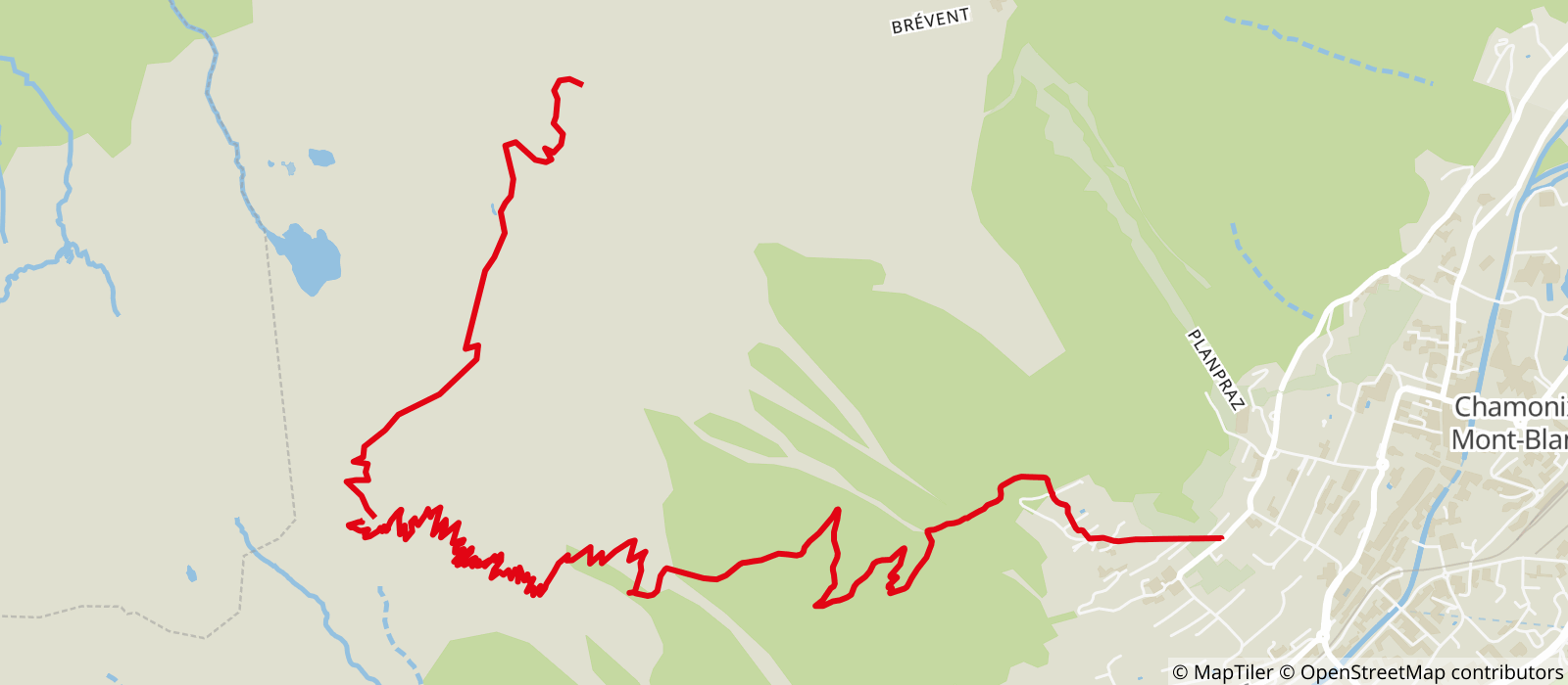
From the Moussoux road, take the Moëntieux climb to the Petit
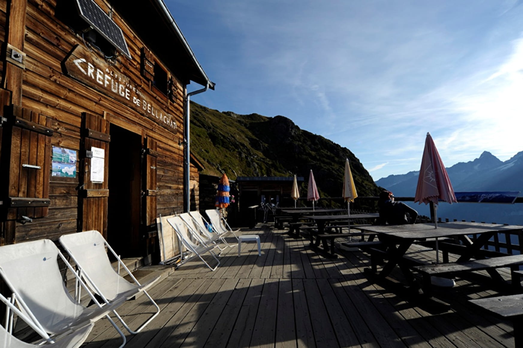
Balcon Sud, cross it and continue by laces in the undergrowth until the crossing of the path coming from Bois Prin and Bossons. Turn right, continue first in the forest, then through an avalanche corridor to Plan-Lachat (ruins) (1 576 m) 1 h 30. Follow the path in the clearing, leave the sentier des Gardes on the right, cross a small forest and continue near a big bell tower above the vegetation by many twists and turns until Bel-Lachat.
Refuge at the arrival: dormitories, restaurant, refreshment bar.
Other itineraries are possible from Les Bossons, Les Houches or from Le Brévent.
More information available at the Tourist Office or the High Mountain Office and in our trail guide.
Attention : The conditions of the trails are likely to change, think of informing you before leaving.
- Sport
Chamonix > Bel-Lachat hiking trail
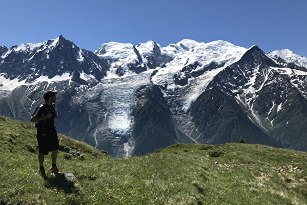
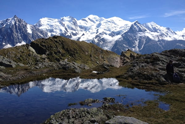
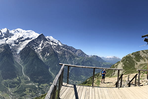
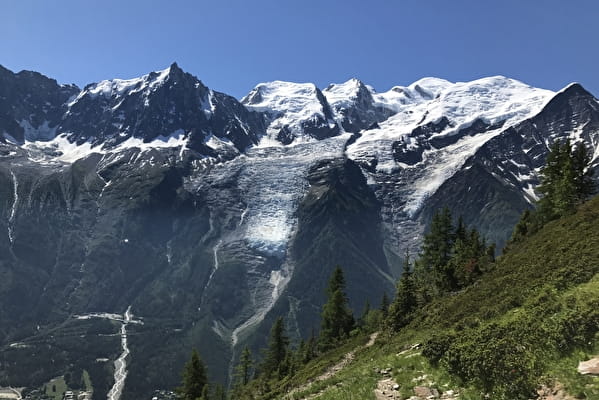
Scenic viewpoint over the Mont Blanc Massif at the edge of the Aiguilles Rouges
and Carlaveyron Nature Reserves.
Sport Chamonix > Bel-Lachat hiking trail Chamonix-Mont-Blanc
About
Further informations
Rock, Stone, Ground, Grit
Prices
Free of charge. Single trip or Return ticket if start at the Brevent lift Top.
Reception
Period of practice
From 15/05 to 31/10.
Subject to favorable snow and weather conditions.
Services
- Pets welcome
- Coach access
Contacts
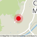
Access
Closest bus stop : Chamonix Center
Closest train stop : Chamonix Aiguille du Midi train stop
Closest parking : Les Moussoux / Saint-Michel car parks


