- Sport
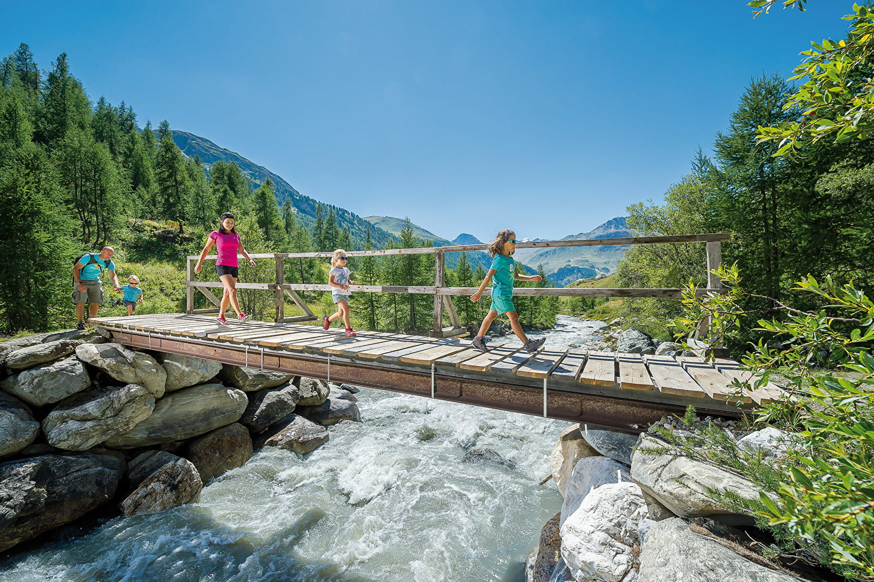
Boucle du Fornet - Par la cascade du Fornet

About

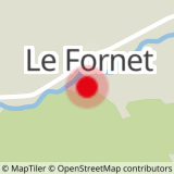
Map references
OS map 3633ET Tignes Val d'Isère
Further informations
Ground
Prices
Free access.
Reception
Period of practice
From 01/06 to 31/10.
Subject to favorable snow and weather conditions.