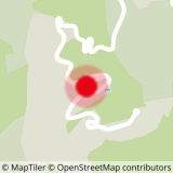
The Boucle des Cascades begins at the forest track behind the tennis courts in the hamlet of Mottet, at 1,400m above sea level. Access is easy from car parks P4, P5 and P6, or from the Télébourg arrival station.
The path taken begins in the forest before reaching the Prariond, chalet restaurant located at the foot of the ski lift of the same name, gateway to the mountain pastures of Pierrafort mountain. Be careful, mountain bikes can cross pedestrians on the forest part.
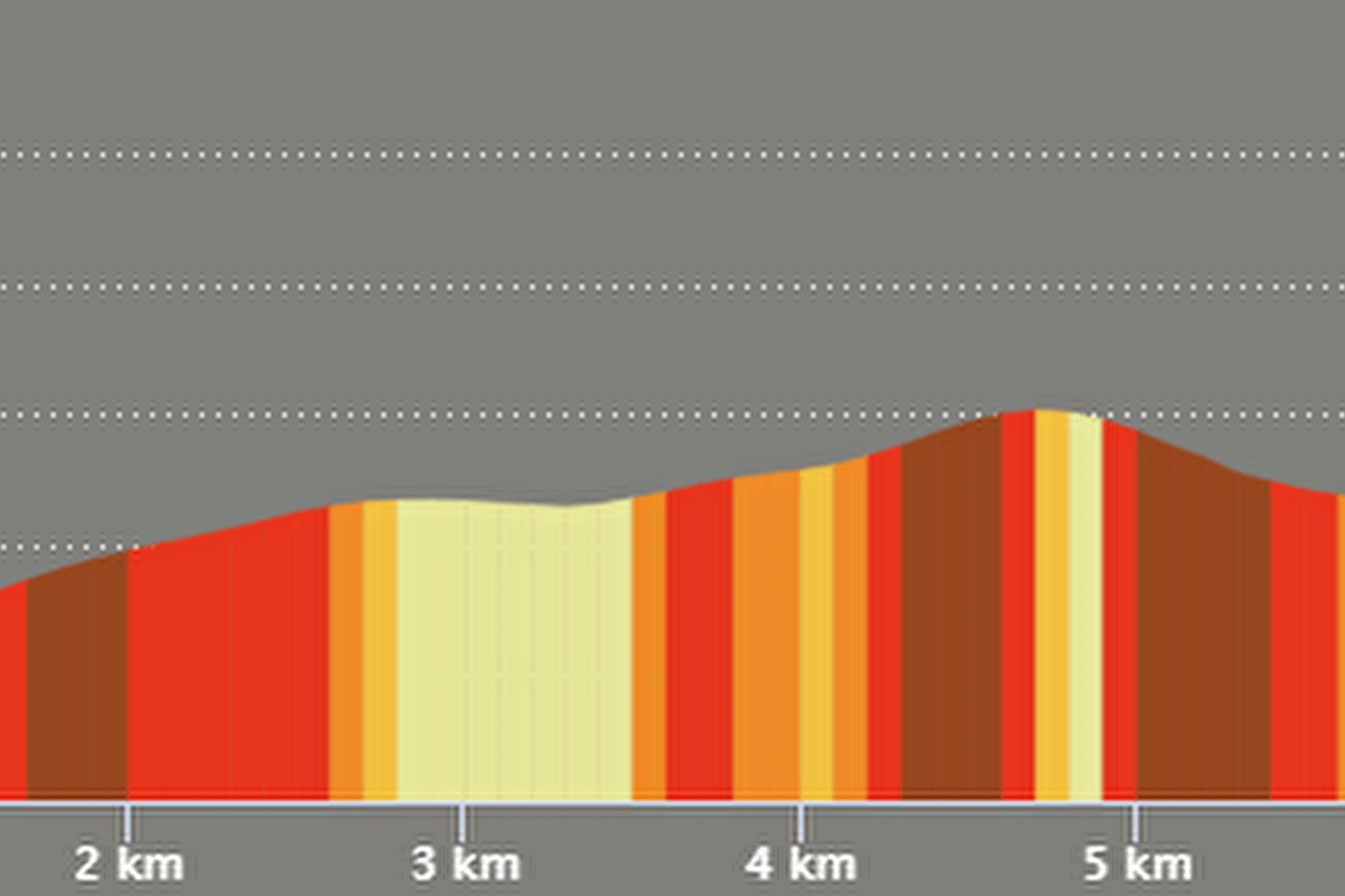
After a brief ascent by stairs, the route takes a hillside path, to reach Plan Salin at 1760m above sea level in the heart of a beautiful mountain pasture. From there, a short walk provides access to the magnificent waterfalls via a beautiful path.
The ascent then continues until the arrival at the top of the Planchamp cable car, near an altitude restaurant. From here, walkers have a magnificent view of the Morel valley, with Mont Blanc as a focal point.
The descent is quite fast via the path known as "51 turns" and crosses the forest again before returning to the starting point.
The trail can also be done as a trail for occasional runners.
Environment: forest, mountain pasture, streams
Points of interest: waterfalls, panoramas, herds
Difficulty: no technical difficulty
Total distance: 8 Km
Elevation + total: 530m
Estimated time: 4h30
- Sport
Boucle des Cascades - B14
Very nice route to discover all the diversity of the upper Morel valley and its magnificent panoramas. The route winds through a half forest / half mountain environment.
Sport Boucle des Cascades - B14 Valmorel
About

1 11


Prices
Free access.
Reception
Period of practice
From 01/06 to 31/10.
Services
- Pets welcome


