This hike from the Logis des Fées refuge is suitable for all types of hikers: active families, more or less trained people,… provided they are protected from the sun which radiates strongly at this altitude and have carried water .
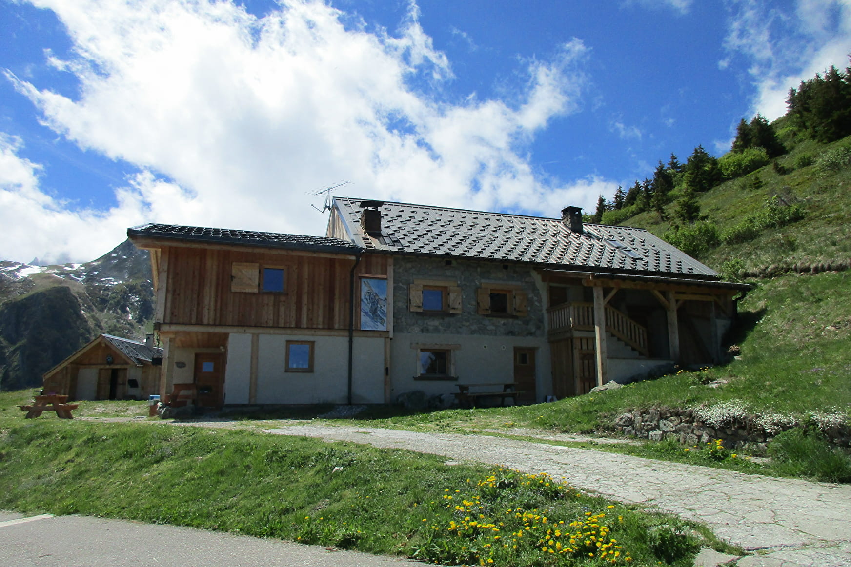
From the Logis des Fées refuge (1840m), take the direction of Lac de l'Arpettaz via the motorized track.
In the first hairpin on the left, take on the right, a discreet path which starts on the side in a wooded part, then leads to mountain pastures where you can observe chamois further (in the evening). You follow this path which leads you to an "observatory" rock, overlooking the Colomban valley. Then take the same path in reverse to find the route that goes up to Lac de l'Arpettaz (1950m).
Take the opportunity to make a stop at the edge of Lake Arpettaz, or that of Branlay (2027m) a little higher in the pastures. From there, you can contemplate the magnificent peaks of the Lauzière which dominate you.
The path is bordered by many altitude flowers such as Orchids, Rhododendrons, ... that walkers can observe at the beginning of summer. Some snowfields are also present due to the altitude and it is easy to observe the glaciers of the neighboring mountains and the numerous torrents.
The environment you will cross during this hike is fragile. Pay attention to the flora and do not disturb the local fauna. Take your trash home and pick up what you find as well.
- Sport
Boucle de l'Arpettaz - B18
This loop offers a high mountain setting, with a breathtaking view of the surrounding mountains, starting with Mont Blanc.
About

1 15


Prices
Free access.
Reception
Period of practice
From 01/06 to 31/10.
Services
- Pets welcome


