• Sport

Boucle de la Tête de la Mandallaz

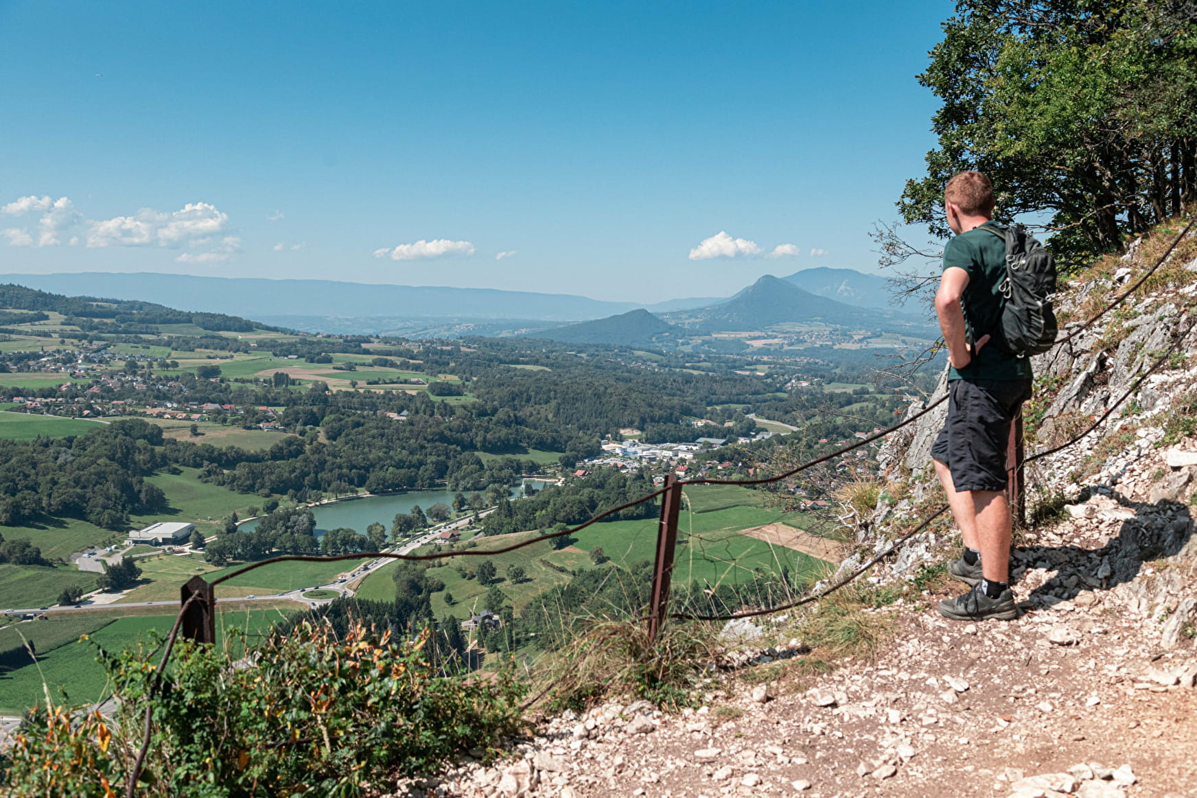
Sport Boucle de la Tête de la Mandallaz La Balme-de-Sillingy

About

Departing from La Balme-de-Sillingy (74330)
Average length : 02h30
Total elevation gain : 450m
Vertical drop : 450m
Distance : 7.5km
Signed walking trail
Animals allowed

Loop
Total elevation gain : 450m
Altitude max : 889m
Vertical drop : 450m
    1 10

    Prices

    Free access.

    Reception

    Animals allowed
    Languages spoken : French

    Period of practice

    All year round.

    Services
    • Pets welcome
    Equipments
    • Car park

    Access

    13 route de Choisy 74330 La Balme-de-Sillingy
    Departing from : La Balme-de-Sillingy (74330)
    Latitude : 45.960969 - Longitude : 6.042257
    Moving across the city : Choisy (74330), La Balme-de-Sillingy (74330)
    Information update on 26/01/2023 by Communauté de Communes Fier et Usses