• Sport

Boucle de la Goliettaz - Mandallaz

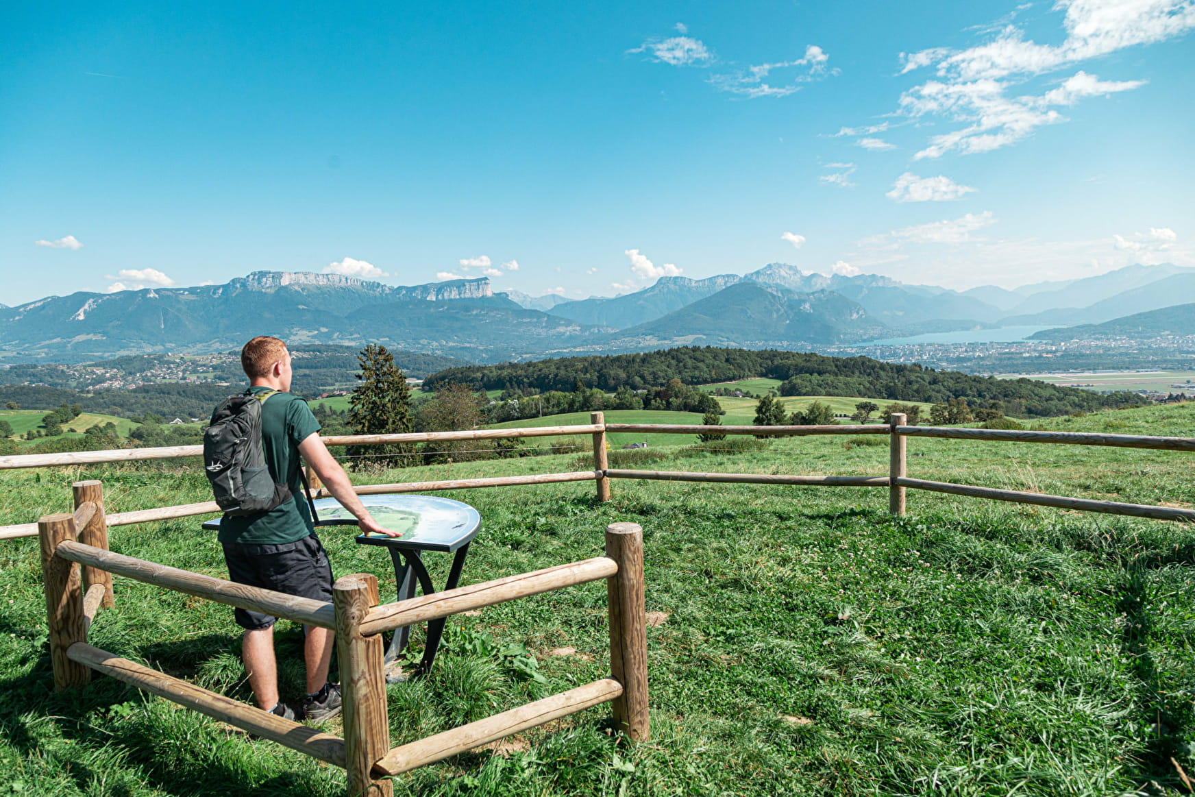
Sport Boucle de la Goliettaz - Mandallaz La Balme-de-Sillingy

About

Departing from La Balme-de-Sillingy (74330)
Average length : 02h30
Total elevation gain : 375m
Vertical drop : 375m
Distance : 9.3km
Signed walking trail
Animals allowed

Loop
Total elevation gain : 375m
Vertical drop : 375m
    1 6

    Prices

    Free access.

    Reception

    Animals allowed

    Period of practice

    All year round.

    Services
    • Pets welcome
    Equipments
    • Car park

    Access

    15 Chemin de la Montagne Cimetière 74330 La Balme-de-Sillingy
    Departing from : La Balme-de-Sillingy (74330)
    Latitude : 45.96753 - Longitude : 6.054971
    Information update on 26/01/2023 by Communauté de Communes Fier et Usses