- Leisure
Arpelières trail
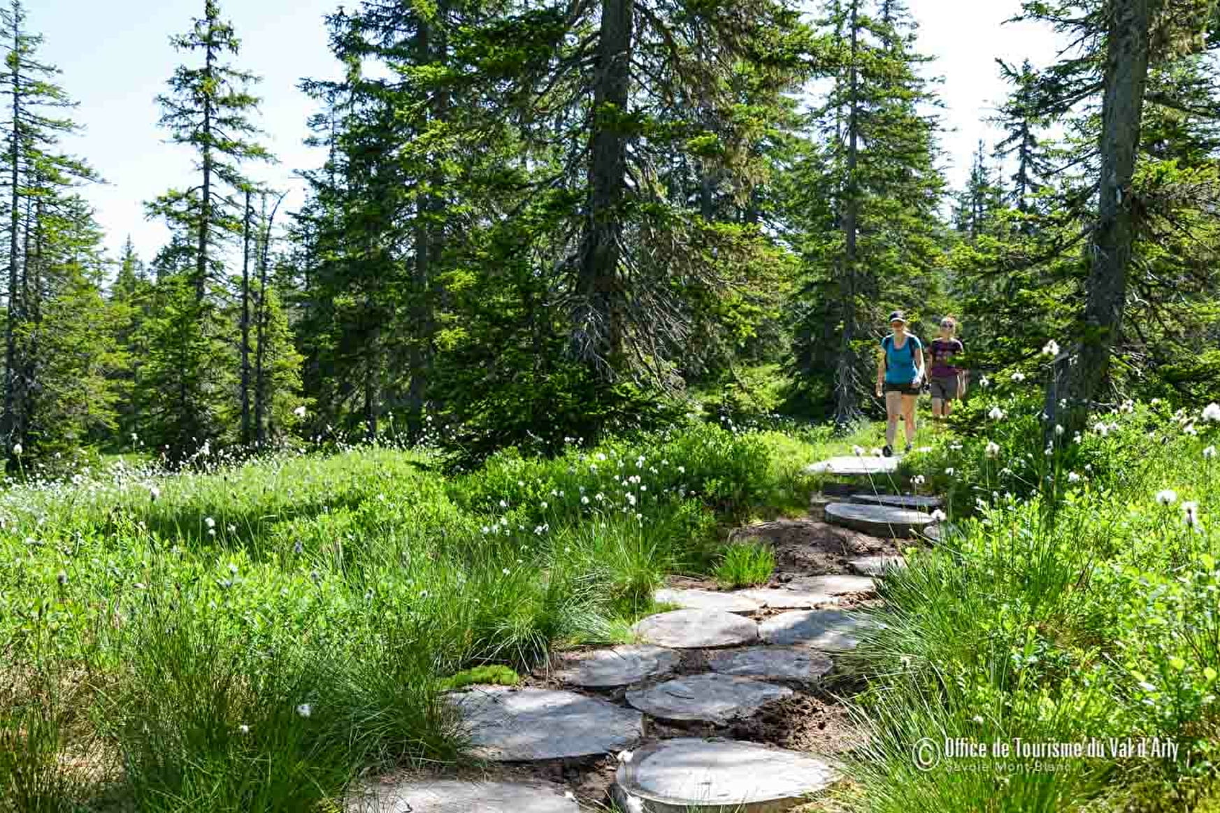
In the heart of the natural reserve located on peat bog at Les Saisies, this track leads you on a discovery of the many features of this wetland area, reminiscent of a Scandinavian landscape.
Easy (1.2 to 4.2 km, several possible routes, from 1 1/2 - 4 hours).

About


Reception
Period of practice
From 19/10 to 08/11.
- Pets welcome
- Car park
- Free car park
- Sustainable development
- Outhouse
- Picnic area
Contacts
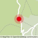
Access
ACCESS TO THE TRAIL :
From Crest-Voland : go back up the D71A for about 4 km, towards the resort of Les Saisies. Go through the Croix des Ayes car park and stop at the carpark for the Pont sur le Nant Rouge.
From Les Saisies : take the D71a towards Crest-Voland, and stop at the Pont sur le Nant Rouge car park.
From Le Cernix : follow the Palette forest road and leave your car at the compulsory car park. From there, follow the forest track for about 20 minutes until you get to the information panel.


