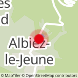
Stage 1: Albiez-le-Jeune -> Chalet d'la Croë: 16.7 km / D+ 872 m / D- 165 m
Stage 2: Chalet d'la Croë -> Refuge des Aiguilles d'Arves: 9 km / D+ 910 m / D-738 m
Stage 3: Refuge des Aiguilles d'Arves -> Albanne: 17.4 km / D+ 649 m / D- 1280 m
Stage 4: Albanne -> Albiez-le-Jeune: 13.3 km / D+ 825 m / D- 1087 m
- Sport
Around Pointe d'Emy - 4-day itinerary
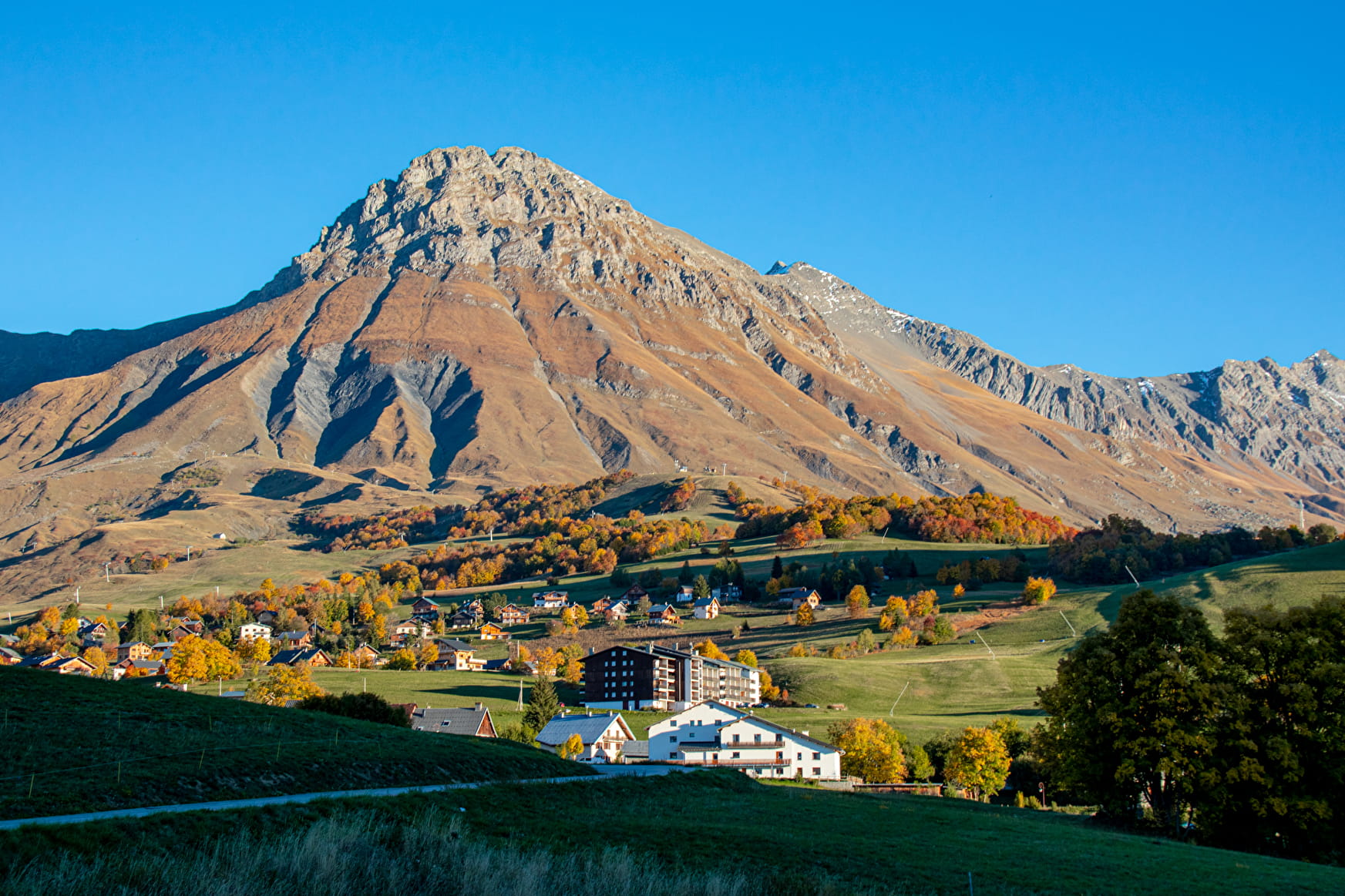
The Pointe d'Emy overlooking the village of Albiez-Montrond is so attractive, it makes you want to walk around it. It makes you want to walk all around it... So take a 4-day tour of the Pointe d'Emy, visiting its neighboring Aiguilles d'Arves via the Col de l'Épaisseur.
Sport Around Pointe d'Emy - 4-day itinerary Albiez-le-Jeune
About
Further informations
Rock, Stone, Ground, Hard coating (tar, cement, flooring), Grit
1 2


1/ Stage 1:
From the chief town of Albiez-le-Jeune, head towards the Moine de Champlan. After admiring this geological curiosity, turn left towards Les Aiguilles to join the RD80 at the Croix de la Ducherie.
Turn right on the RD80 as far as Ravin du Claret, then take the track on the right towards Bonvillard.
Cross the hamlet and continue towards Albiez-Montrond. Get back on the RD80 at Des Combarres and follow it to Place Opinel. Continue towards the Rival forest to reach La Villette.
Cross the road and climb up to La Plaigne.
At La Frédière, go back down to Rieu Gilbert, then up through the Sur la Broue chalet. Rejoin the road, continue uphill, then turn left onto the path towards Les Chabottes.
At the signpost on the Torrent, turn right to go up the track. Take the left-hand track to Chalet d'la Croë.
2/ Step 2:
Take the path leading south from the chalet to join the track at Bassin.
At La Motte, take the left-hand track, leaving a chalet on your right, cross the stream and follow the ridge to Plan Pradin.
At Plan Pradin, turn left towards the Passage de l'Épaisseur.
From the Passage de l'Épaisseur, descend to the Col, then back down to the Aiguilles d'Arves refuge via the Combe du Puy.
3/ Stage 3:
Descend to Commandrault, then fork left towards the hamlet of Les Verneys.
Cross the hamlet to join the main road.
Cross the road and the Valloirette.
Follow the torrent on the right bank as far as the Valloirette footbridge.
Then climb up to the hamlet of Poingt Ravier.
Continue up the balcony path to Pain du Sucre, crossing the Villard stream (footbridge installed around June 10 and removed around September 15).
At La Turraz, head towards Gros Mélèze, then stay on the balcony path towards Albanne.
Cross the ruisseau des Moulins and continue downhill to Albanne.
4/ Stage 4:
Follow the RD for 500 m to the Col d'Albanne.
Continue towards Lac Pramol through hay meadows and mélézin.
From the lake, take the "sentier du Blanchon" theme trail to the Les Karellis ski resort.
Cross the resort to Le Suiffet. Climb the Porte Brune ridge in the 1st section through a shady spruce forest, then continue into the more mineral Combe de Messolard.
There is a "technical" passage (not very difficult) on a boulder equipped with a handrail (cable) and metal steps.
Below the Casse-Massion cross, fork right onto the Lacha ridge as far as the Croix d'Albiez.
At the Mont Tissot signpost, fork left to descend to Albiez-le-Jeune via Les Roches.
We advise you to book accommodation well in advance, given its small capacity.
Recommended equipment :
- Mountain boots suitable for walking on varied terrain (rigid soles)
- Rain gear
- Warm clothing
- Pair of telescopic poles
- Cash (CB terminals not always available in refuges)
Prices
Free access.
Reception
Dogs must be kept on a leash due to the presence of herds.
Period of practice
From 20/06 to 20/09.
Services
- Pets welcome
- Public WC
- Car park
- Free car park
Contacts
Access
- Not accessible in a wheelchair

