Head towards the tennis courts then le Chantel village. Follow the col des Frettes track.
Walk with ascent/descent, mixed terrain sometimes uneven. For experienced walkers.
- Sport
Arc 1800 to the Col des Frettes
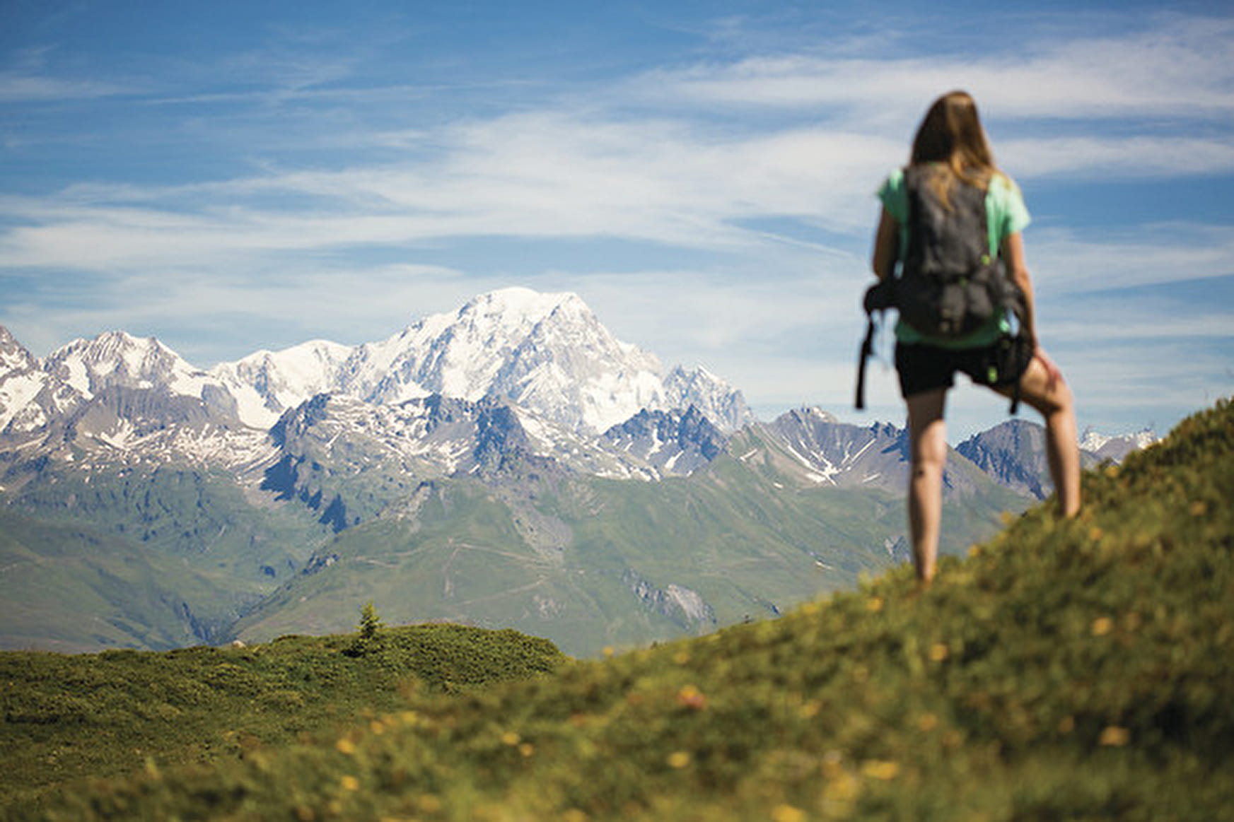
View of Mont Blanc and the Aiguille Rouge steep and very stony track.
Sport Arc 1800 to the Col des Frettes Les Arcs
About

Signs
The trail is indicated by yellow signs with a green inscription. You can also find yellow rectangles painted on stones or ponds.
Map references
TOP 25 IGN 3235 ET
Further informations
Stone, Grit, Ground
1 1

1/ From Place du Miravidi, head towards the village of Chantel.
2/ Walk along the golf course
3/ Pass under the Arpette chairlift
4/ Follow Chemin Col des Frettes.
Hiking with elevation gain, mixed terrain, sometimes uneven.
For experienced hikers.
Prices
Free access.
Reception
Period of practice
From 01/06 to 01/11.
Subject to favorable snow and weather conditions.
Services
- Pets welcome
Contacts
Access
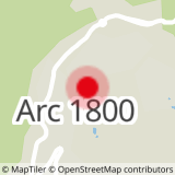
Depart from Place Miravidi close to the Charvet Tourist Office in Arc 1800.
