Access to the refuge des Marche from the Prec parking
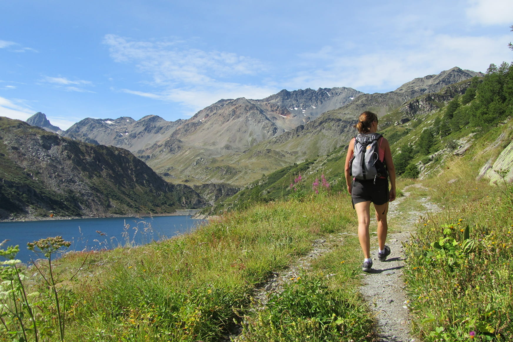
A sporty route for good walkers
About


Departure from the Prec car park, head towards Sous le Prec then Le Prec. From there, continue on the path that resumes south of the Prec plateau. After 100m, go down to the left, cross the stream and go up towards Les Cartillières. Head towards Barrage de Bissorte - right bank, then follow Refuge des Marches via the left bank, passing by Lac de Bissorte, Bout du Lac, Les Marches. At the refuge, head towards Barrage de Bissorte - right bank, passing through Les Ruines. From there, take the same route as on the outward journey to Les Cartillières. Continue towards Le Prec d'en Bas, then on the track to the Parking du Prec via Combe Mandran.
Reception
Period of practice
From 15/06 to 30/09.
Subject to favorable snow and weather conditions.
- Pets welcome
Access
Access by the D1006 between Orelle and La Praz, at the Bissorte power plant, between the orange building and the chapel
