Otherelectrically assisted MTB routes and cross-country routes await you : The Andran Tour, the Beauregard Plateau, around the Sulens, a boarder cross MTB area at the Merdassier mountain pass... A MTB route map is sold at the Manigod i-site.
MTB route map available at 3€.
Throughout the year.
- Sport
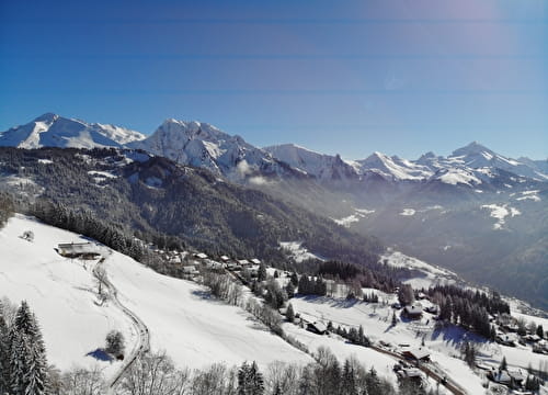
MTB - Around the Sulens
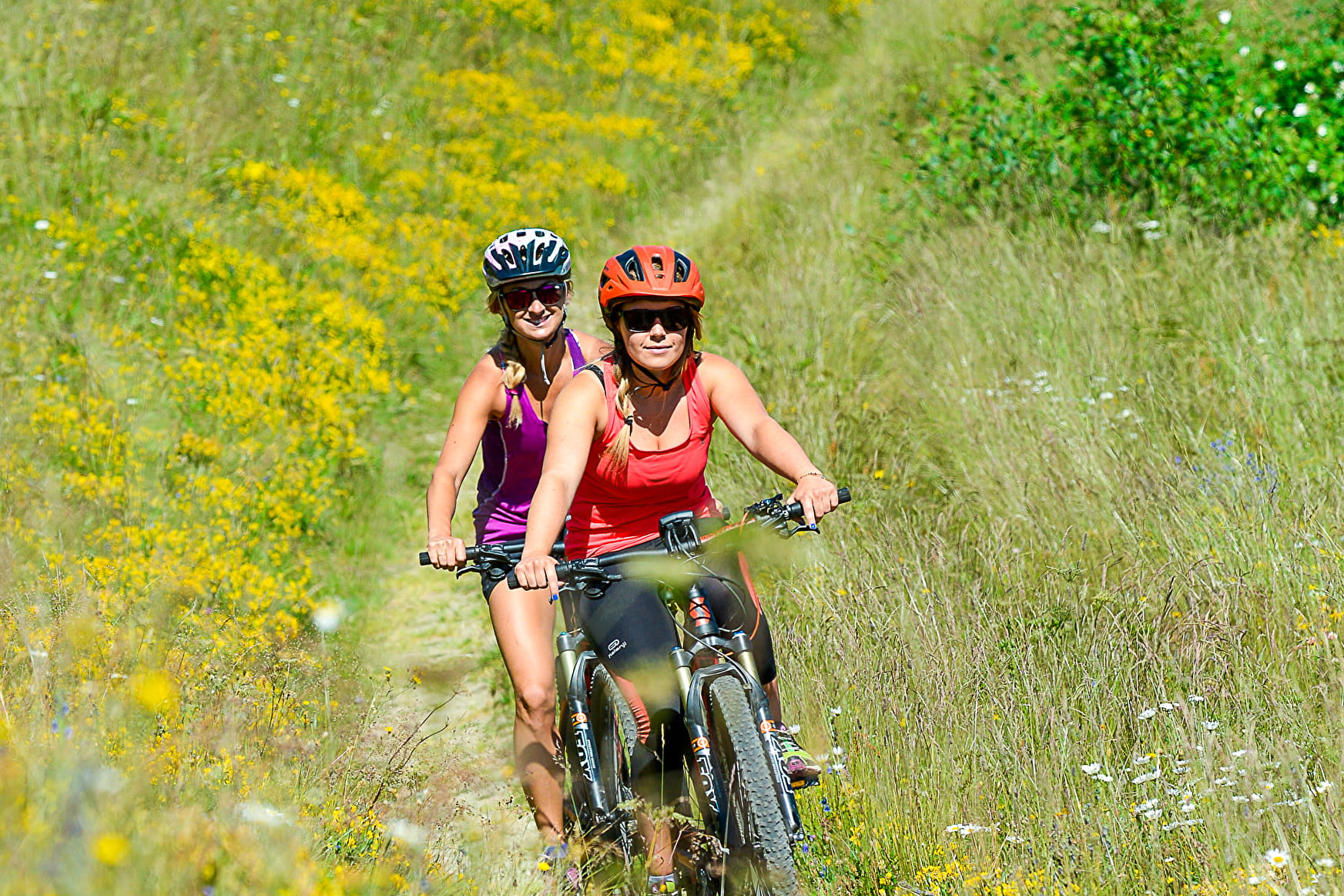
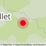
Route allowing you to ride around the Sulens since the Plan Bois mountain pass via the Nant Blanc, Tincove and the Frasse. Traced route of level black for experienced mountain bikers.
Sport MTB - Around the Sulens Manigod
About

Topoguides references
MTB route number 22 in the MTB guidebook "Tournette Bornes Aravis" available at the Manigod i-site for 3€.
Reception
Period of practice
All year round.