Free access
Start: 1500m
Finish: 2090m
Ascending elevation: 590m
Estimated time: 1:30 h
Marking: please follow the orange markers
Safety equipment obligatory: ARVA, shovel and probe.
Descent down: Arcelle red slope (great ski level required)
Ski touring trail - Les Chalets de l'Arcelle - Val Cenis Lanslevillard
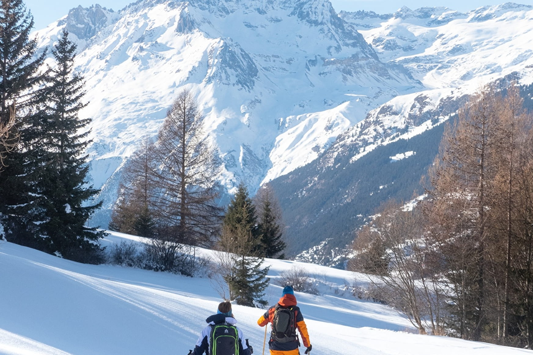
The route connects the departure at Val Cenis le Haut to Les Chalets de l'Arcelle.
About
1 3


Prices
Free access. Free access if you don't take the lifts.
Reception
Period of practice
From 21/12 to 11/04 between 9 am and 5 pm.
Subject to favorable snow and weather conditions.
Contacts
Access


