Free access
Start : 1320 m
Arrival : 1670 m
Difference in altitude: 683 m
Difficulty: easy
Estimated time: 1 hour
Obligatory safety equipment : DVA, shovel, probe
Descent : blue slopes of la Forestière and la Girarde
- Sport
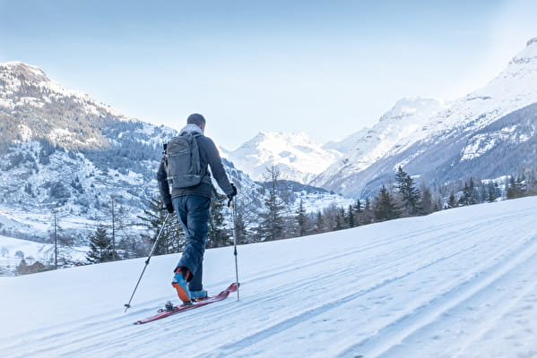
Ski touring route "Le Soday Termignon

Ski touring itinerary to evolve in complete safety.
About
Prices
Free access.
Reception
Period of practice
From 21/12 to 11/04 between 9 am and 5 pm.
Subject to favorable snow and weather conditions.
Contacts
Access
Departure from the Val Cenis Termignon snow front car park.


