Leave the hamlet of Les Places (accessed via the route de Mont Caly from Les Gets). Take the forest path down to the hamlet of 'Bonnavaz', where you cross the first bridge. Then take the groomed track to the second bridge. The path now follows the winding track climbing into the forest and up to the Col de l'Encrenaz. Then climb the north slope of Mont Chéry with a lovely view of the Roc d'Enfer and Praz de Lys.
Attention: This is a long and difficult circuit and is not recommended when snow or fog are forecast. Why not contact a mountain guide to
- Sport
Tour du Mont Chéry
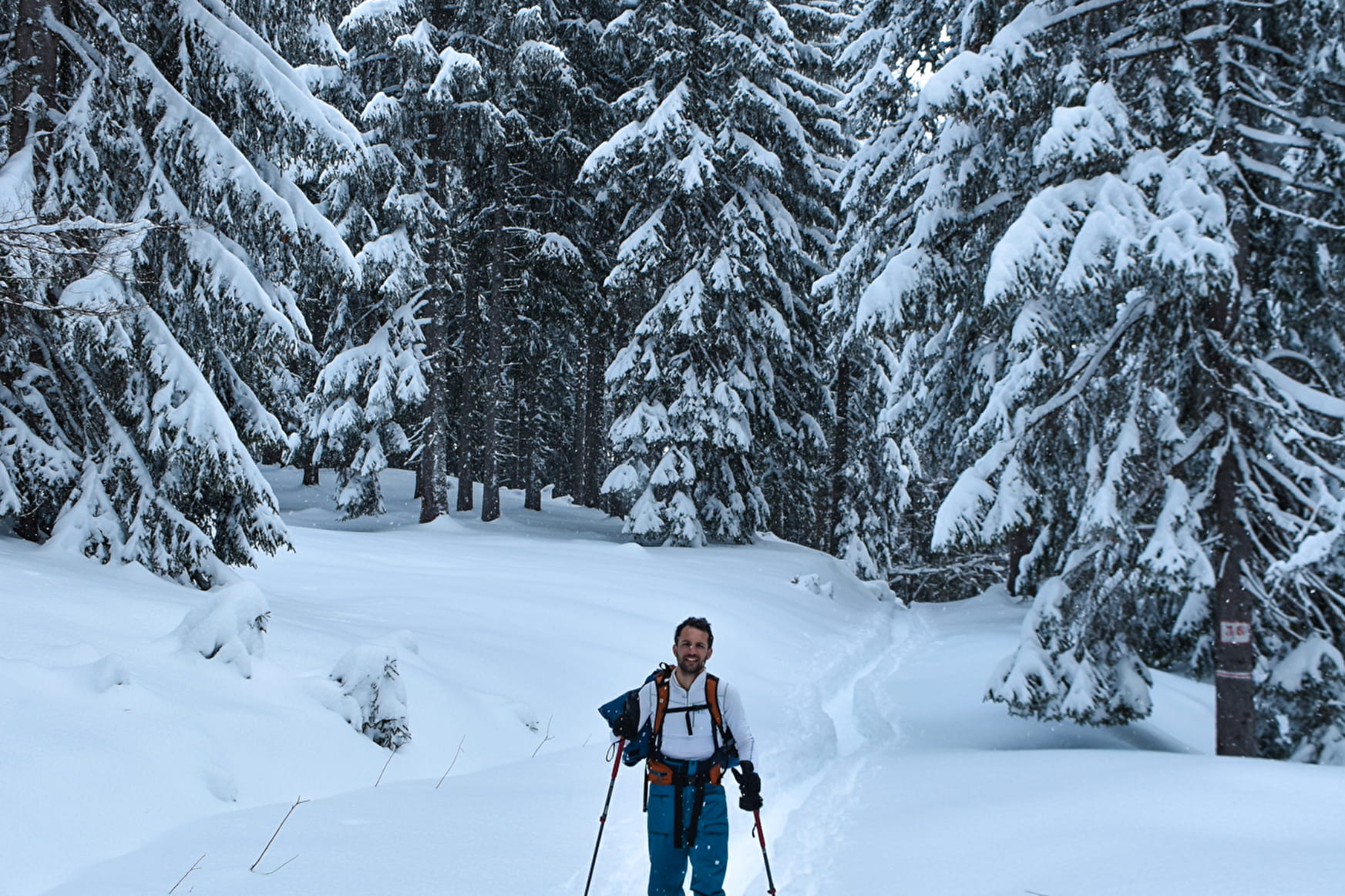
Above the forest, you cross a large expanse of snow to return to the charming alpine village of Mont Caly with magnificent views of the Mont Blanc chain.
Sport Tour du Mont Chéry Les Gets
About
Period of practice
All year round.
Subject to favorable snow and weather conditions.
Contacts
Access
