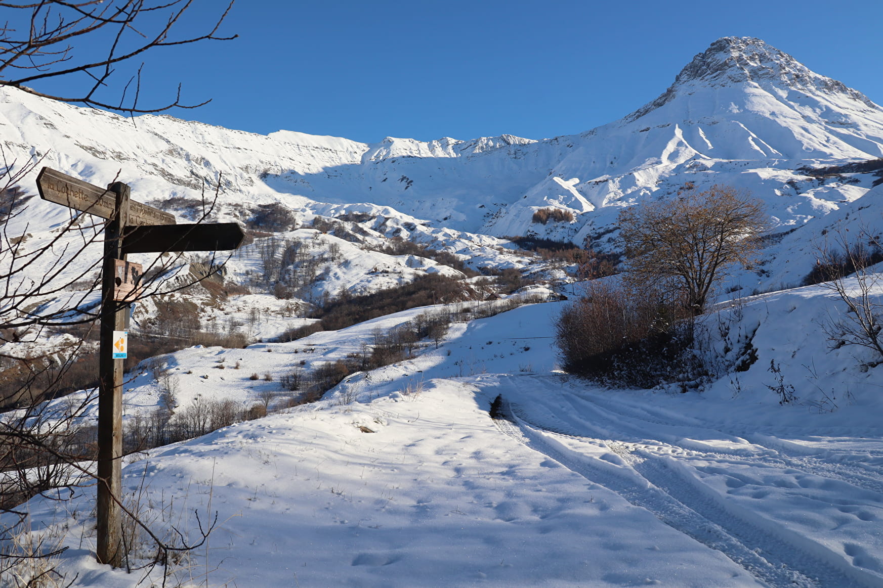
Enjoy a nature walk from the chief town of Albiez-Montrond to the hamlet of La Cochette. You'll enjoy views of the Lâcha ridges, the village of Albiez-le-Jeune and the fairy chimneys.

Sport Tour de la Cochette Albiez-Montrond

About

Departing from Albiez-Montrond (73300)
Average length : 03h00
Total elevation gain : 245m
Vertical drop : 238m
Distance : 7.9km
Signed walking trail
Average duration of an individual visit : 03h00

What to see / What to know :
A family stroll through the mountainous area, to discover the work of man over the centuries. Every corner of the land was cultivated with barley, rye, potatoes, flax, beet... Broues (terrace embankments often bordered by maple trees), marked the boundaries of the plots.

    1 4

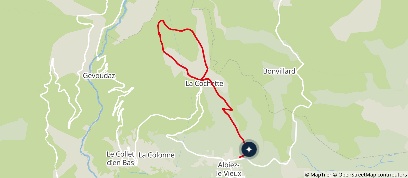
    0/ From the village of Albiez-Montrond, follow the RD80 for 100 m towards Albiez-le-Jeune.
    1/ Leave the RD80 and turn left onto Chemin des Crozets.
    2/ At the crossroads, turn right onto the road towards Les Crozets as far as the La Côte crossroads.
    3/ From here, turn left down the track to the Bois du Nez crossroads.
    4/ From this crossroads, continue straight ahead on the grassy track that leads to the hamlet of La Cochette. There are several views of Le Moine de Champlan.
    5/ From the hamlet of La Cochette, follow signs for Le Villard Sambuis.
    6/ Follow the road for 100 m, then take the path on the left.
    7/ At Villard Sambuis, continue around the small mountain. Return to the hamlet of La Cochette by taking the track on the left, leaving the path which climbs to the right. Follow this path to the Les Crozets crossroads.
    8/ From here, return to Albiez-Montrond along the same path as on the outward journey.

    Prices

    Free access.

    Reception

    Depending on snow conditions, bring snowshoes or good snow boots.

    Dogs must be kept on a leash due to the presence of sled dogs.

    Equipments
    • Picnic area

    Access

    Place Opinel Chef-lieu 73300 Albiez-Montrond
    Departing from : Albiez-Montrond (73300)
    Latitude : 45.218879 - Longitude : 6.340997
    Information update on 07/10/2024 by Montagnicimes Office de tourisme Intercommunal