Snowshoe route n°1: Pont de Lachal - L’Echet
Departure from the car park upstream of the hamlet of Lachal.
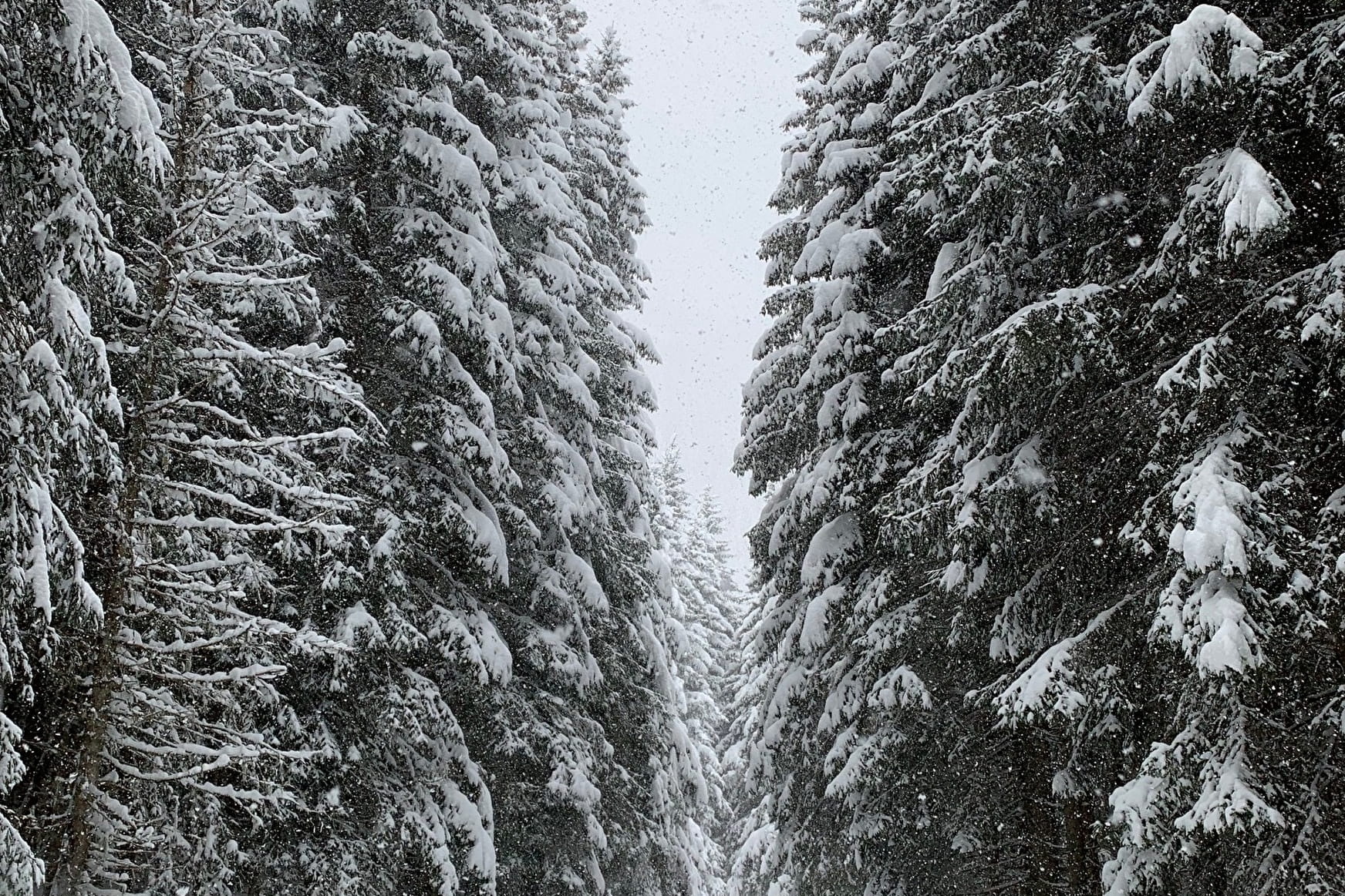
Description: From the “Snowshoe route start” sign, next to the car park. Turn left just before the bridge, along the banks of the Glandon torrent. Cross a stream and continue the track upstream. Arrived on the flat, at a crossroads of tracks continue straight towards the track which joins the chalets of Echet, in the middle of the Alpages.
Return: take the same route.
Note: A superb discovery of "Medium" difficulty, through the forest and an arrival in the mountain pastures at the foot of the Col du Glandon where you will probably be able to observe chamois and ibexes.
- Sport
Snowshoeing route: Pont de Lachal - L’Echet
Map of walking and snowshoeing routes available for download on this page and from the Espace Glandon Tourist Office.
About
1 1

Prices
Free access.
Reception
Period of practice
From 02/12 to 14/05.
Subject to snow conditions.
Contacts
Access

