2 possible departures: foot of the Pré-Richard chairlift or tourist office.
Departure 1: Cross the car park at the start of the ski lifts and go down along the road towards Langin. At the roundabout, turn right, then left to follow the river. At the footbridge, turn left.
left. Then (read *)...
Departure 2 : Park in front of the tourist office, take the direction of the Maison Bernolande (salle des fêtes), go towards the river Ugine, cross the footbridge, then continue straight on. Then (read *)...
...* cross the road and take the path opposite, go up to the left and follow the track which leads to the quarry. The track becomes a path. At the crossroads of the paths, turn left to reach the meadows and then the hamlet of Les Esserts.
Take the track which goes down in the forest along the torrent to the starting point.
- Sport
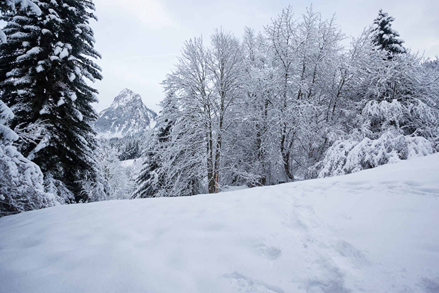
Snowshoeing itinerary: circuit de l'Envers
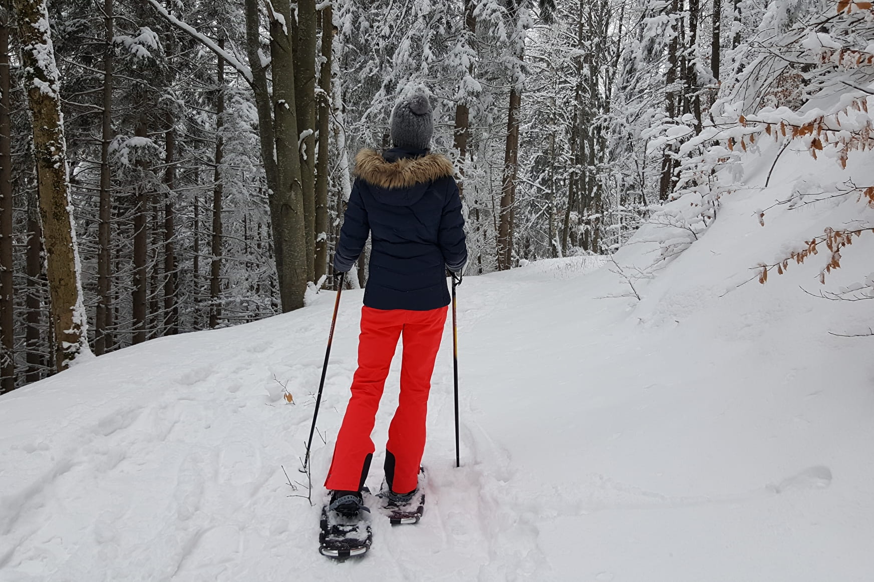
Follow in the footsteps of animals in the dense forest of l'Envers, discover the alpine chalets of Les Esserts and the panorama over the village of Bernex.
Sport Snowshoeing itinerary: circuit de l'Envers Bernex
About
1 5


Prices
Free of charge.
Period of practice
From 10/12 to 30/04.
Subject to snow conditions.
Services
- Coach access
- Public WC
- Car park
Contacts
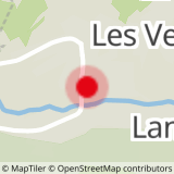
Access
Bernex is located 20 minutes from Evian-les-Bains and 25 minutes from Thonon-les-Bains. In the village, take the direction of the ski resort.