Snowshoe route n°4: Mont Rond
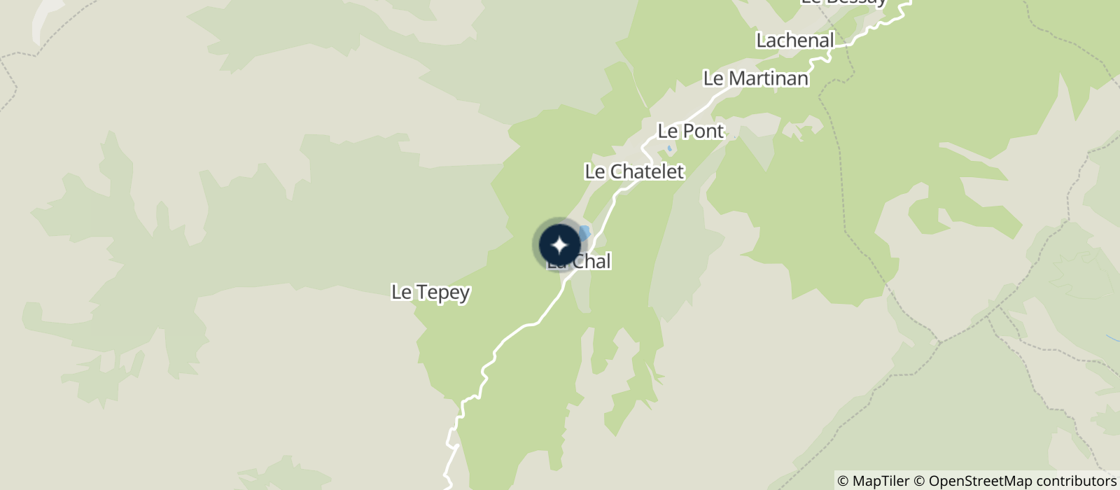
Park in the hamlet of Les Moulins near the torrent. The path begins above the road and climbs on the left side of the torrent. The trail is steep and goes through the woods. The path evolves in the fir trees, north side and it is sometimes narrow. Leaving the forest you will come to an open clearing with a beautiful view of the valley. The return is by the same route.
This trail is steep and difficult, be careful.
- Sport
Snowshoe route: Mont Rond
Map of walking and snowshoeing routes available for download on this page and from the Espace Glandon Tourist Office.
About
Prices
Free access.
Reception
Period of practice
From 02/12 to 14/05.
Subject to snow conditions.
Contacts
Access


