We then leave the groomed path to put ourselves in the shoes of a trapper and discover the tracks of the many animals that roam around... After a short, steep climb, you can enjoy the picnic tables next to the trapper's hut as well as the games for the little ones.
Running time: 1h to 1h30
Difference in altitude: up 90m, down 90m
Length: 2.5km
Difficulty: 1/3
Start / Finish: Télécabine des Chavannes
- Sport
randonnée raquettes
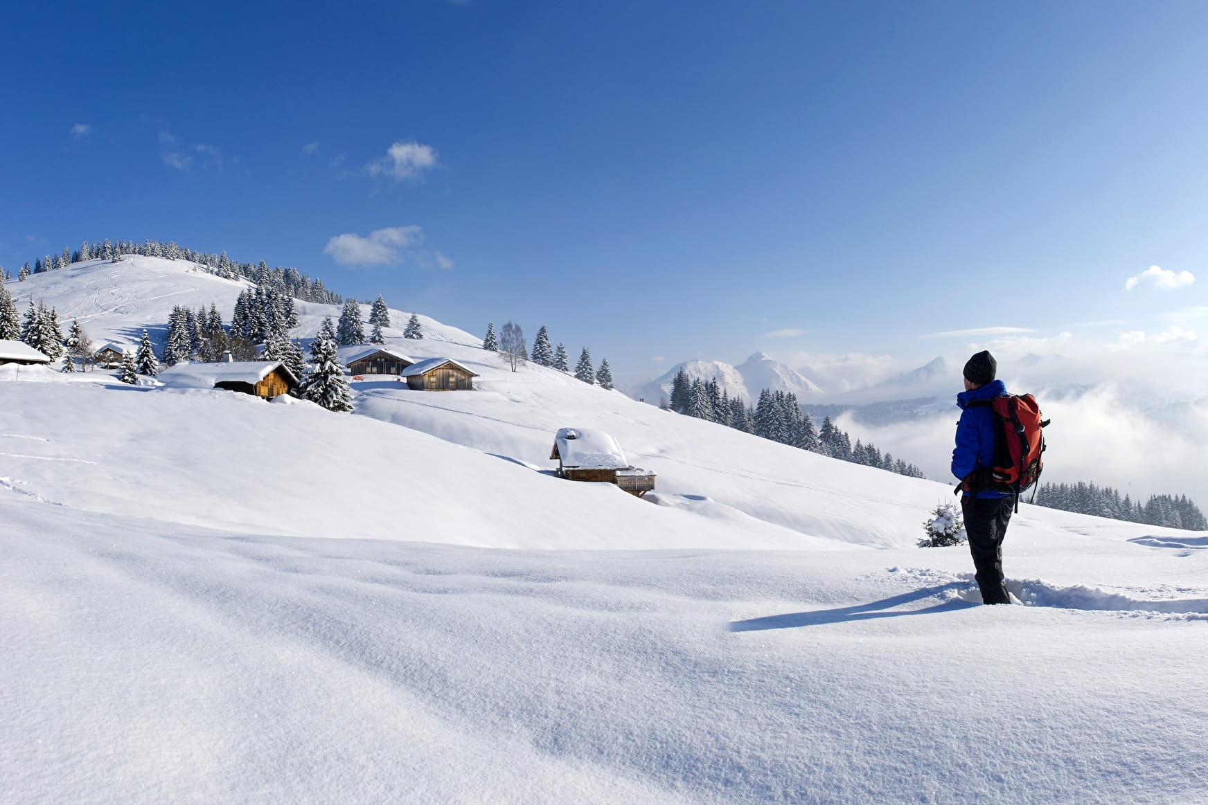
The path crosses the area at the beginning of the Mappys and then descends by the chemin de la Mouille Ronde
Sport randonnée raquettes Les Gets
About
Period of practice
From 21/12 to 21/04 : open daily.
Contacts
Access
