From the Plan car park, take the groomed path that runs alongside the Arrondine stream, walking near the toboggan area (Groomed route for the first 2.5 km only). Continue on a forest path towards Les Chapets, passing through "L'Armoy" and "Les Arsets". At this crossroads, take the climb to the left to join "Les Quatre Chemins", and the Chalets des Chapets. After admiring the panorama of the valley, return to the crossroads of the four paths, then turn right onto the track which winds its way between the trees. The bravest can make a round trip (20 minutes) to Les Chapets, the others will continue straight on the forest path of Golet and descend to join the ascent circuit before "Les Arsets".
The return to the Plan is made by the same route as for the outward journey.
Attention: after the Chapets, do not venture: significant avalanche risks.
- Sport
"Les Chapets" n°16 - Snowshoe itinerary
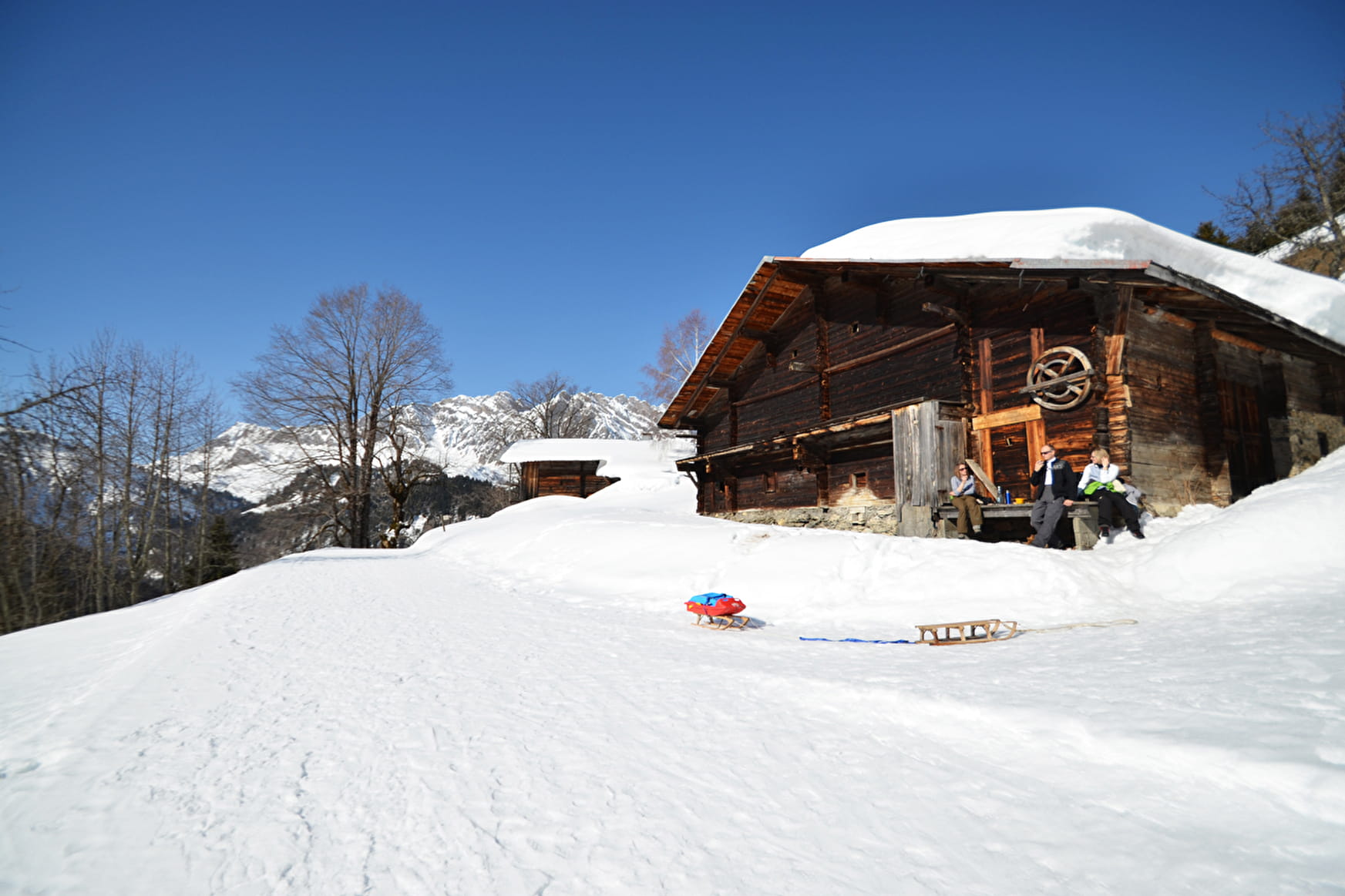
Small hike in forest from "Le Plan" to access to the hamlet of "Les Chapets" with its beautiful view over the valley of "L'Arrondine".
Sport "Les Chapets" n°16 - Snowshoe itinerary La Giettaz
About
Prices
Free access. Map of walking routes on sale at the Tourist Office at € 2.50.
Methods of payment accepted : Cash
Reception
Period of practice
From 15/12 to 15/04.
Subject to snow conditions.
Contacts
Access
Accessibility possible via the Giett'Bus (Le Plan stop).
Opening hours at the Tourist Office.
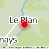
Start of the Plan trail, at the ski lift parking lot.
