From Pont Baudin or the hamlet of Chenarie (above Nancroix), take the track that goes behind the small chapel Ste Marguerite.
Route marked on 510 meters of positive elevation.
- Sport
La Chenarie - Piste des Rossets
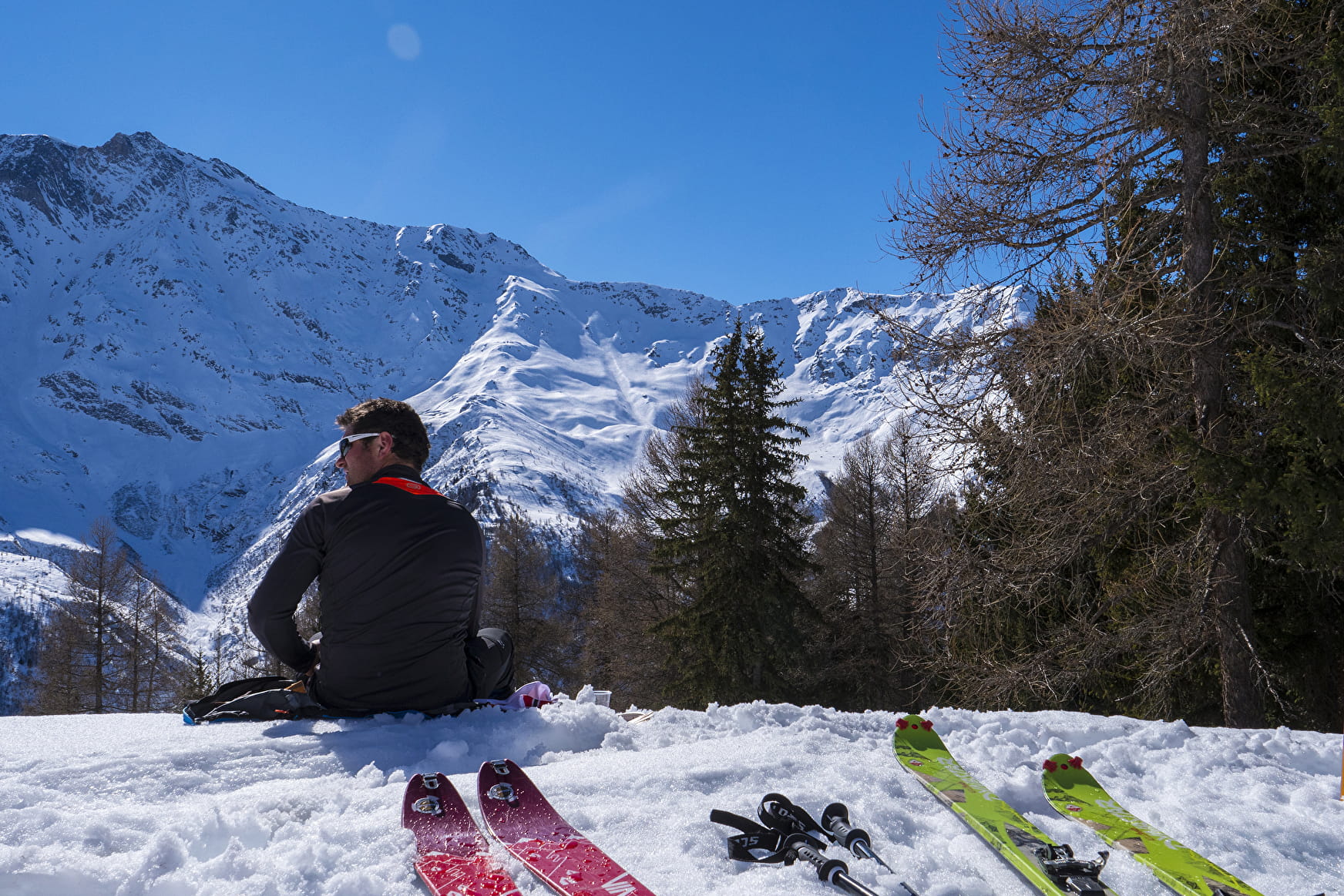
Hicking itinerary opened on the Peisey-Vallandry area.
Sport La Chenarie - Piste des Rossets Peisey-Nancroix
About
Prices
Free access.
Period of practice
From 01/12 to 30/04.
Subject to snow conditions.
Equipments
- Parking
Contacts
Access
