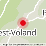
From the Tourist Office, cross the RD71 road (caution) and take the path along the Bar-Tabac, chemin des Bernades, opposite. Descend for about 150 m at the end of the dead end to join the start of the route on your left. The first part of the route is located under the village in an atmosphere alternating clearing and forest. The route then goes up towards RD71A, route des Mottets. Take a left and take it for 100 m then leave it and take a right at the village entrance sign "Crest-Voland". Continue towards Cernix following the route that passes in the clearings under the RD71C road, route du Cernix. The route ends at Place du Cernix.
TO KNOW :
The hamlet of Cernix belongs to the municipality of Cohennoz, whose capital is 5 km away. In the past, because of this distance, the inhabitants of Cernix went to school and to the Church of Crest-Voland, while those of the chief town went to Héry sur Ugine, on the opposite slope, until the building of their own Church in 1766. Since the 1960s, Le Cernix has been oriented towards tourism and equipped with ski lifts. The hamlet has become urbanized and concentrates 90% of the population in the year of Cohennoz.
- Sport
From village to village : Crest-Voland / Le Cernix n°7
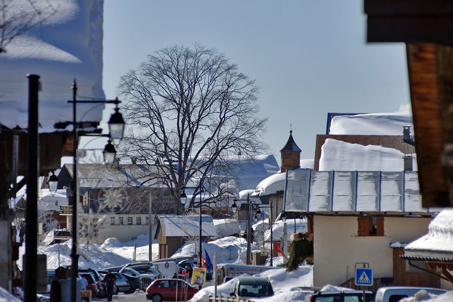
Small easy walk connecting the village of "Crest-Voland" to the hamlet of "Le Cernix".
Sport From village to village : Crest-Voland / Le Cernix n°7 Crest-Voland
About
1 1

Prices
Free of charge.
Reception
Period of practice
From 15/12 to 15/04.
Subject to snow conditions.
Services
- Pets welcome
Contacts
Access
Accessibility possible via the Station Shuttle (Center-village stop).
Departure from the trail at the Tourist Office.

