Turn left and continue up to the Lac des Mines d’Or.From the Mines d’Or refuge (closed in winter), follow the ski tracks that head up towards the Col de Cou. The path is safe from avalanches as far as the Fréterolles chalet.
- Sport
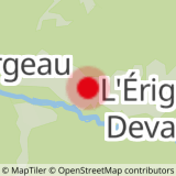
From l'Erigné to Fréterolles
Set off from l’Erigné in the Manche Valley at the end of the snow-cleared part of the road. Follow the cross-country ski tracks that go up via the bridge to Charny.
Sport From l'Erigné to Fréterolles Morzine
About
Prices
Free access.
Reception
Period of practice
From 17/12 to 14/04.
Contacts
Access
