From the hamlet of the chapel of La Chenarie, follow the direction of the Pont Baudin centre with its cross-country skiing area. From this point follow the direction of Les Lanches and Beaupraz, then follow the Bettières to reach the refuge de Rosuel which will show you the plan of l'Épinerie which is the furthest point for hiking in winter. The return journey is either by the same path or you can go to the left of the gully to reach the Pont Baudin centre, which allows you to reach La Chenarie.
- Sport
Chenarie - Beaupraz - Bettières - Épinerie (winter)
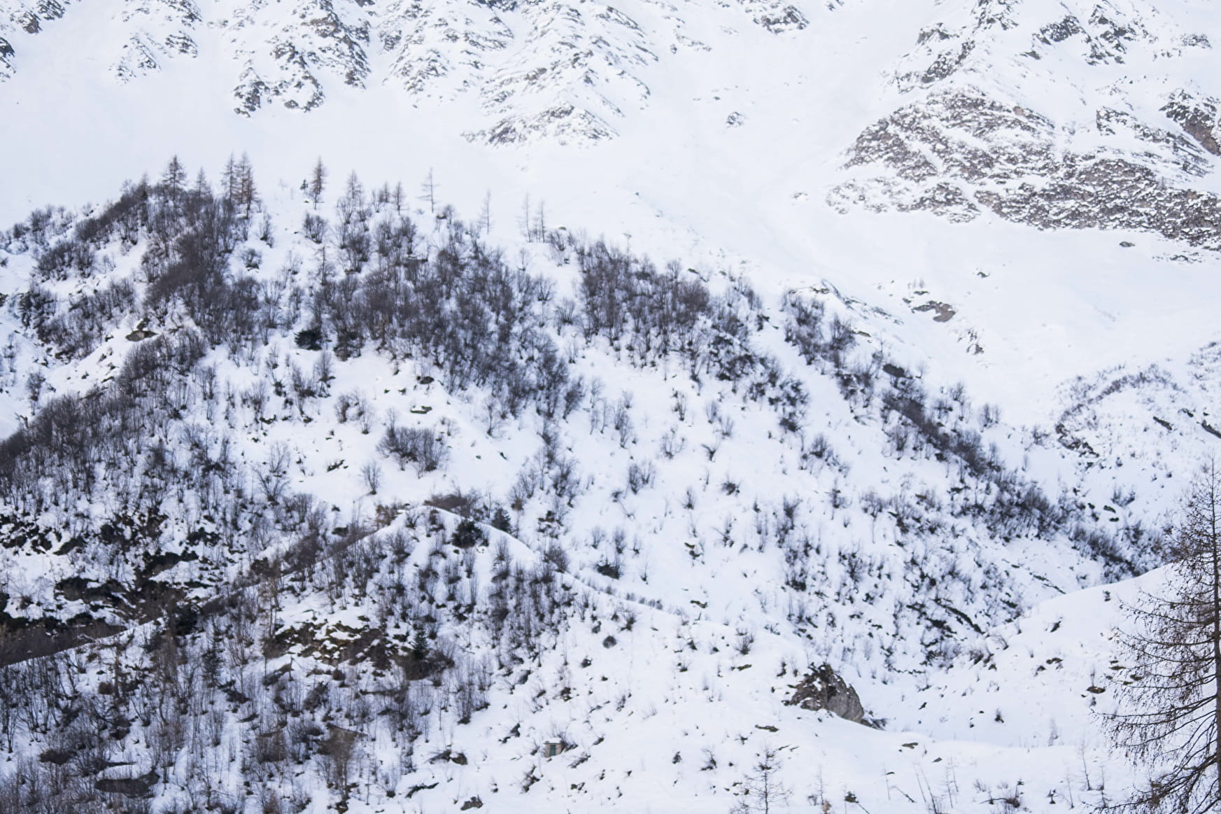
A great walk between the hamlet, the chapels and the Rosuel valley. This walk allows you to discover the gateway to the Vanoise National Park and thus have one of the most panoramic views of the valley.
Sport Chenarie - Beaupraz - Bettières - Épinerie (winter) Peisey-Nancroix
About
1 3


From the hamlet of the chapel of La Chenarie, follow the direction of the Pont Baudin centre with its cross-country skiing area. From this point follow the direction of Les Lanches and Beaupraz, then follow the Bettières to reach the refuge de Rosuel which will show you the plan of l'Épinerie which is the furthest point for hiking in winter. The return journey is either by the same path or you can go to the left of the gully to reach the Pont Baudin centre, which allows you to reach La Chenarie.
Prices
Free access.
Period of practice
From 01/12 to 30/04.
Subject to snow conditions.
Equipments
- Parking
Contacts
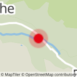
Access


