Altitude of 1863 m and change in altitude of approximately 700 m.
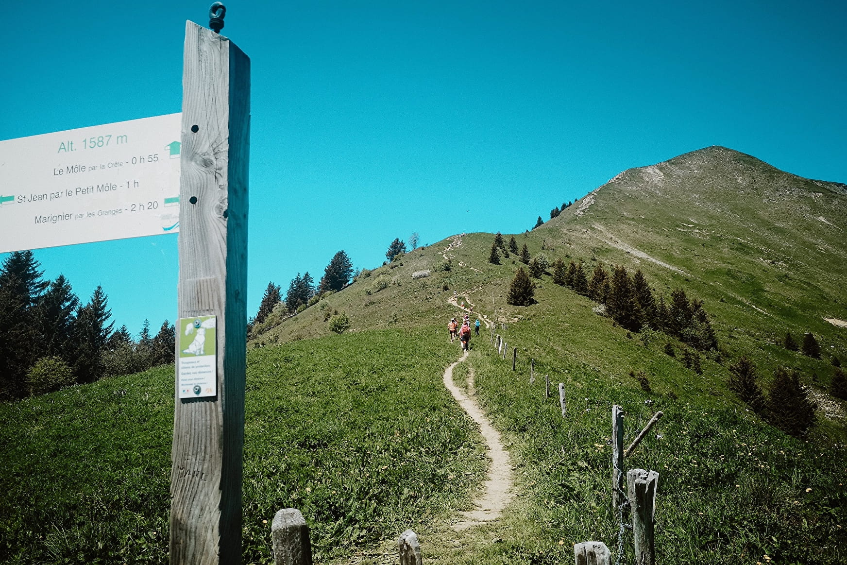
The walk lasts about 3 hrs to reach the summit of the Môle, using a safe, well-maintained footpath. You can reduce the length of the walk if you want, as it is divided into three stages lasting 1 hr each.
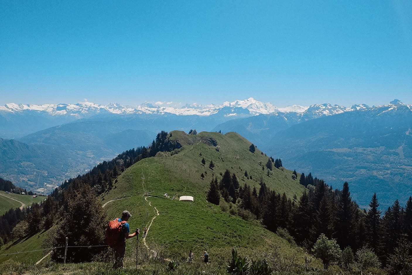
The Môle mountain is shaped like a near-perfect cone: 7 km long and 5 km wide, with an altitude of 1863 m. It is a little mountain in Haute-Savoie's terms, but is significant geographically-speaking: it separates the Arve valley, running from south to west, from the Giffre valley, running north to south-east and stands guard over the southern entry to the Genevois basin.
- Mountain, Viewpoint
Le Môle
You are sure to enjoy this lovely walk to the Môle, which reaches a height of 1863 m and overlooks Bonneville as well as the rest of the valley and once you reach the summit, you will have a 360ᵒ panoramic view over almost the whole department.
About
1 2


The fountain of the Petit Môle provides fresh drinking water that comes from the reservoir, the captchment area just a few hundred meters higher on the other side of the Môle, created in 1909 by the Commune d'Ayze.
Contacts
Access

- Not accessible in a wheelchair