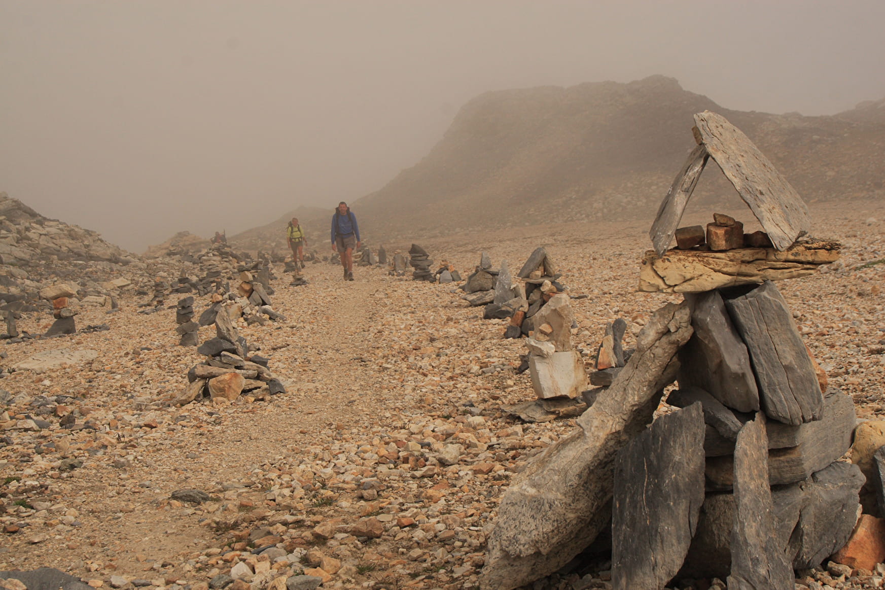
Start from Les Prioux. The hike takes four hours via the Peclet-Polset Hut (2.5 hrs). The trail is well marked, and when less easy to see, cairns indicate the way. In the early and even mid summer, snow often covers the trail. The last section to reach the pass is relatively steep (35° max) and rocky, but not technically difficult. Once at the pass (2796 m), a ridgeline leads Point de l'Échelle Peak (3345 meters), or it is possible de head downhill on the otherside towards Modane.
Flora and fauna:
When passing by the Peclet-Polset hut, hikers often encounter herds of chamois and apline ibex, as well as marmots darting in and out of their burrows. As you climb towards the pass, the vegetation more or less disappears, transforming the landscape into a lunar-like desert. Yet in the summer, several small mountain flowers thrive in such a harsh environment.
- Mountain pass, Viewpoint
Col de Chavière Pass
At 2796m elevatin, Col de Chavière Pass is a crossing point between the Maurienne and Tarentaise valleys.
About
Prices
Free of charge.
Opening
From 15/05 to 15/10.
Access depends on the weather and snow conditions.
Contacts
Access
