• Sport

Tour de la Bachellerie en VTTAE

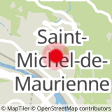
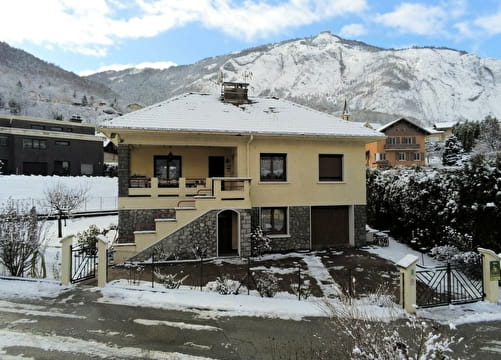
Sport Tour de la Bachellerie en VTTAE Saint-Michel-de-Maurienne

About

Departing from Saint-Michel-de-Maurienne (73140)
Average length : 02h15
Total elevation gain : 690m
Vertical drop : 690m
Distance : 20km
Signed walking trail

Loop
Total elevation gain : 690m
Altitude max : 1390m
Vertical drop : 690m

Further informations

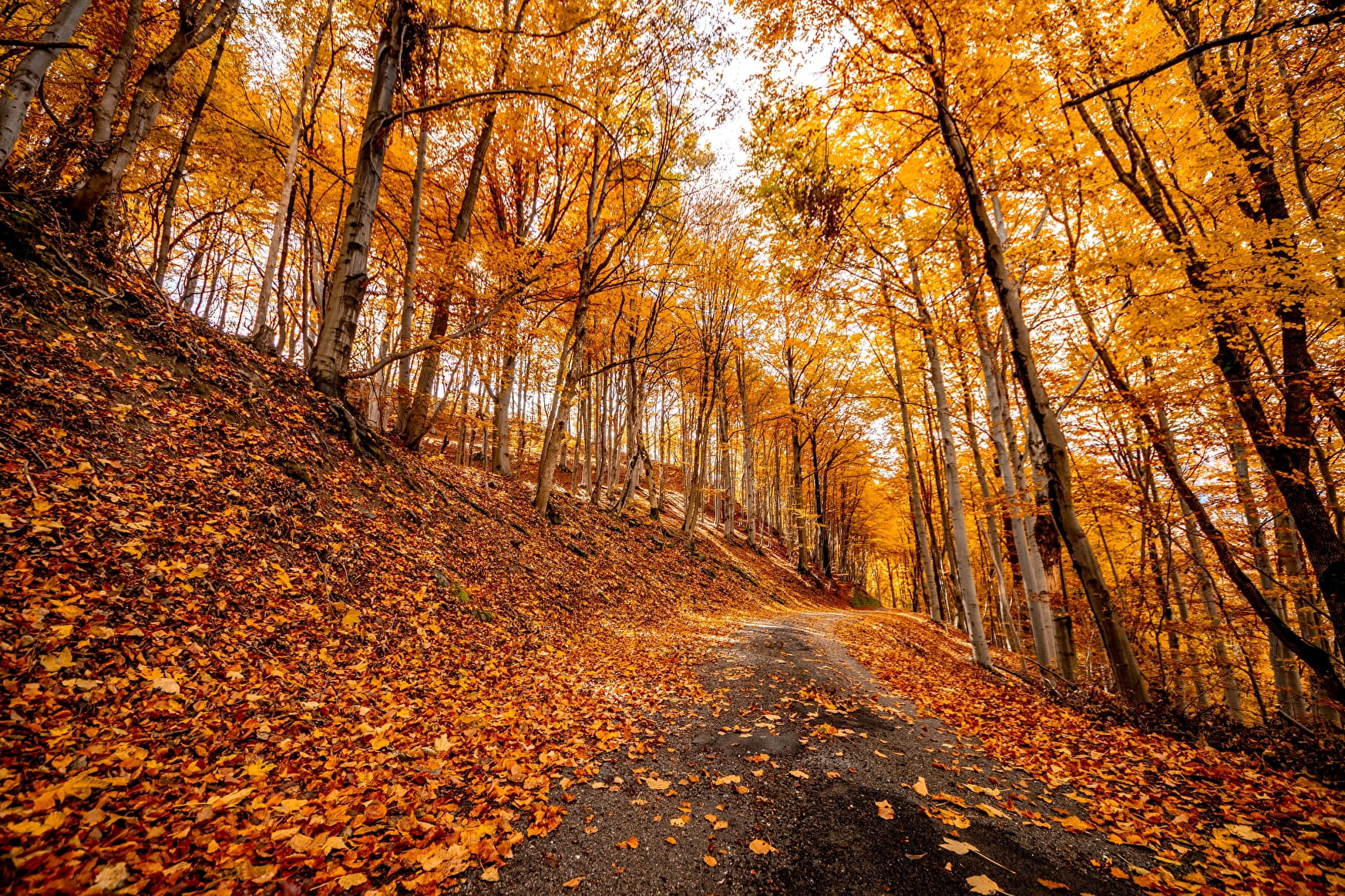
Ground, Hard coating (tar, cement, flooring)

    1 2

    Prices

    Free access.

    Reception

    Languages spoken : French

    Period of practice

    All year round.

    Subject to favorable weather.

    Equipments
    • Public WC
    • Car park
    • Charging station for 2 electric wheels
    • Free car park

    Access

    Mairie de Saint-Michel-de-Maurienne 73140 Saint-Michel-de-Maurienne
    Departing from : Saint-Michel-de-Maurienne (73140)
    Latitude : 45.21817 - Longitude : 6.474429

    More informations

    Information update on 18/07/2022 by Office du tourisme Intercommunal Maurienne Galibier