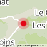
Above 2000 meters above sea level and facing Mont-Blanc, welcome to the ridges of Vorès. From the Planay car park, briefly follow the departmental road and, at the ski lift garage, turn left towards Les Combes. Take the track to the right then the road departmental to reach the hamlet of Frasses. Turn left towards Lac du Guï. At the small lake, turn right onto the track that leads to Crête de Douce: steep climb. The ridge runs between Val d´Arly and Beaufortain and joins the Col de la Limace. Take the descent to Plan Désert on the left: steep passage and vigilance at the Bouza intersection. When you get to the lake, go around it on the left and take the "single" player to Stomu. Continue on the track towards Chardonnet then Planay.
- Sport
The Mont de Vorès FFC n ° 54
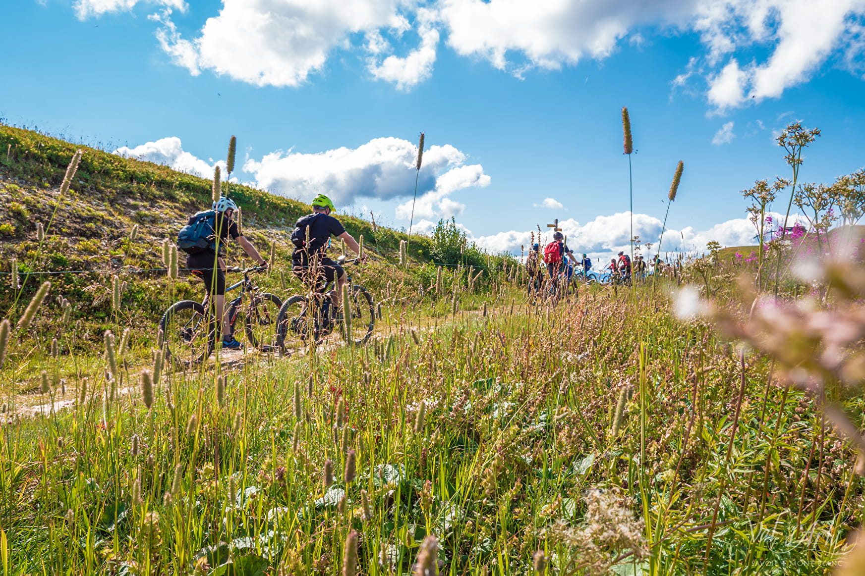
Course on the crests of Notre Dame de Bellecombe, where you can admire magnificent views.
Sport The Mont de Vorès FFC n ° 54 Notre-Dame-de-Bellecombe
About

Signs
E-MTB route markings - Espace Diamant MTB map
Map references
Sports VTT map on sale in the Uffizi at € 4 OR Espace Diamant MTB card on sale in the tourism office at € 2.50.
1 1

Prices
Free access.
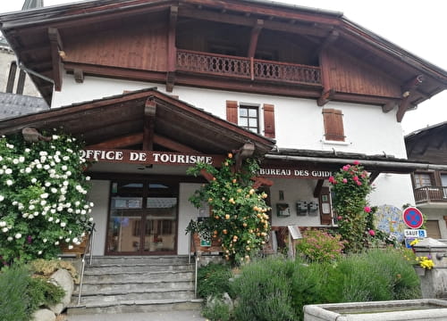
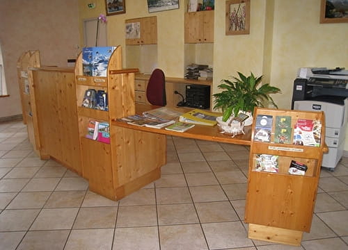
Reception
Period of practice
From 15/06 to 15/10.