Level: easy (green)
Length: 12km
Total ascent: 100m
Max. altitude: 800m
Min. altitude: 700m
Type of route: return trip.
- Sport
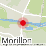
Mountain biking route: Morillon - Les Gorges des Tines
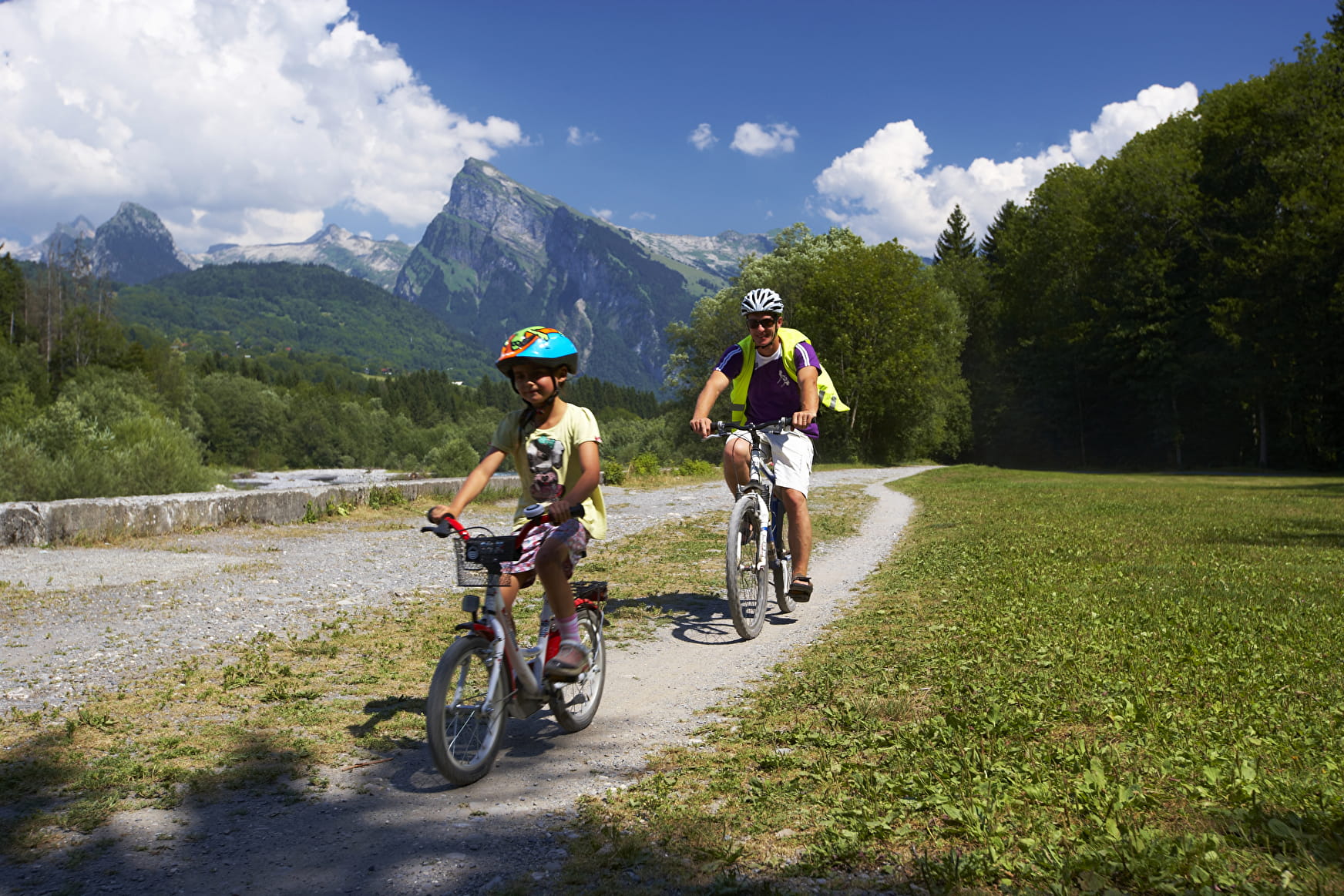
Very easy and pleasant route along the water and in the forest.
About

Prices
Free
Reception
Level: easy (green)
Length: 12km
Total ascent: 100m
Max. altitude: 800m
Min. altitude: 700m
Type of route: return trip.
Period of practice
From 01/05 to 01/11: open every day (depending on the snow cover).