From the Fer à Cheval cirque, the route crosses the "nant des Joathons" bridge located at the entrance of the cirque. The wide path soon crosses the "nant des Pères" before going alongside the Pelly campsite. The route then leads you to a forest and follows the banks of the Giffre before crossing a vast clearing facing the hamlets of Molliet and Nambride. Shortly after the "nant du Dard" (a mountain stream the waters of which are channelled by large embankments built of boulders), the path, on the edge of the forest, goes above the hamlet of "Brairet" (km 4.68). Be careful not to leave the path or drive through the meadows.
This section, on a narrow path, presents a few minor technical difficulties. You soon find a good path leading to the "Saugy" bridge (km 5.40). Cross this bridge and then follow the road for 400 metres before turning left to cross the Giffre once again at the "Curtets" bridge. On a good path and then on a small road, reach the centre of the village of Sixt Fer à Cheval (km 7). Follow the Giffre through the village. As you leave the village, the road changes to a wide track leading to a quarry. At the entrance to the quarry, cross a bridge (a former railway bridge that used to link Annemasse to Sixt) and then a short climb brings you back to the road. Follow the road for a few metres, then cross it again to reach the Tines bridge. Go alongside the road and follow the path that goes steeply downhill towards the Bas des Tines bridge (km 8.50). The route continues along a pleasant path that passes close to the Notre Dame des Grâces chapel before crossing the hamlet of Les Faix. After crossing the "Perret" bridge (km 10.29), immediately turn left to follow the very good path across the Vallon plain. The route crosses the "Clévieux" stream (km 13) and then, along the Giffre, reaches the "Lacs aux Dames" lakes in Samoëns (km 14.22). Skirt the lakes on a narrow path that soon gives way to a very good track leading to the narrow bridge at "La R'Biolle" (km 15), which crosses the Giffre at a single span of 40 metres. At the end of the bridge, turn right through the woods of "L'Etelley" and then along the banks of the Giffre to reach the Lac Bleu lake in Morillon.
- Sport
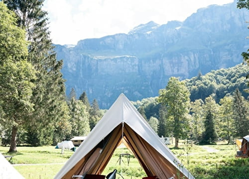
Mountain biking route - Fer-à-Cheval > Morillon
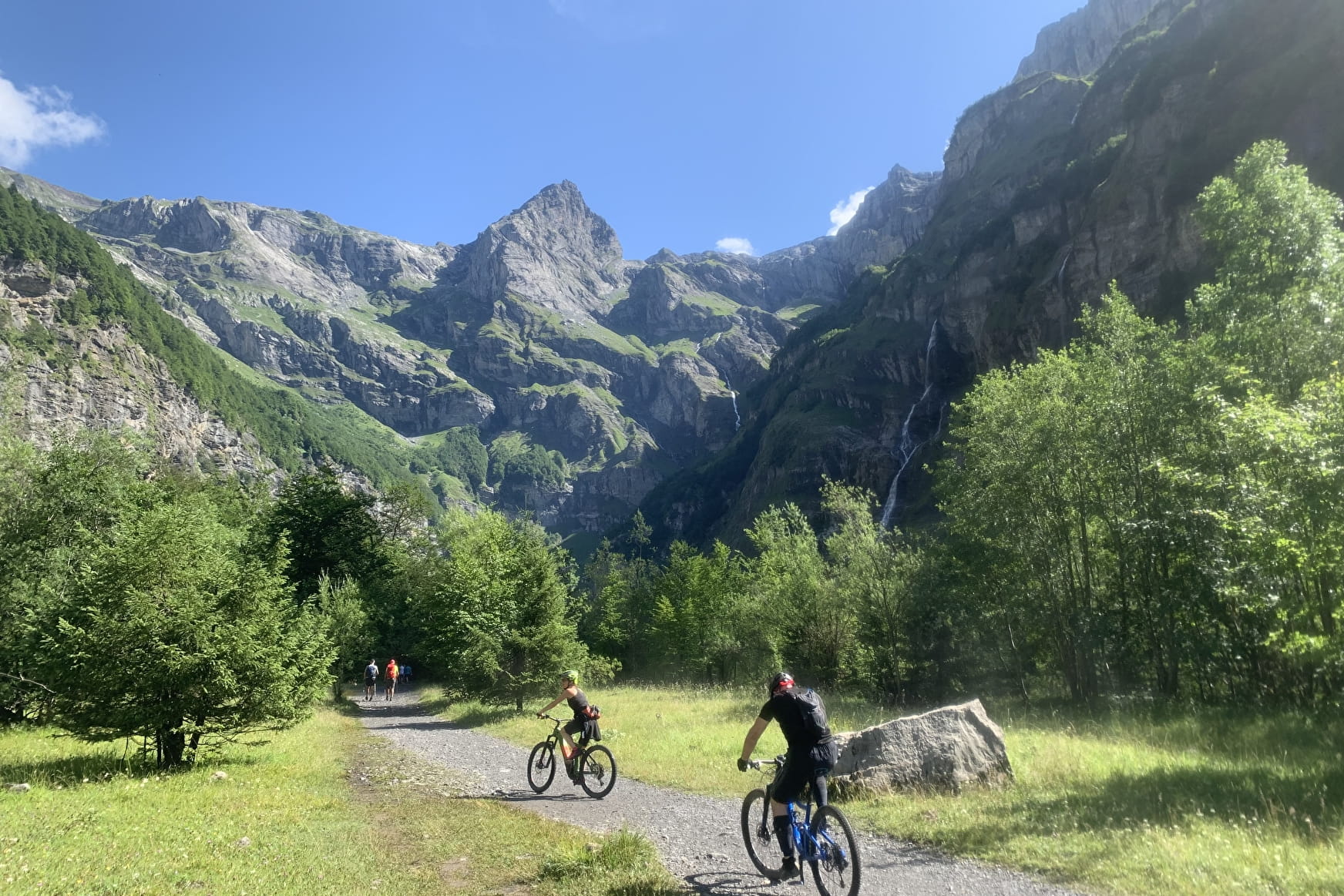
If there's one itinerary you really shouldn't miss, it's this one. The Cirque du Fer à Cheval is a splendid amphitheatre of rock cliffs, some over 1,900 metres high, with numerous waterfalls.
About

Topoguides references
VTT X-Country n°62 - Fer à Cheval > Morillon
Prices
Free of charge.
Reception
Period of practice
From 01/05 to 31/10.
Depending on the snow cover.
Equipments
- Car park
- Free car park
- Public WC