After the ascent of Col de la Crusille via Nances and Novalaise, you will cross the Banchet mountains from the forest before a not so technical descent towards la Bridoire. The circuit then goes in Chartreuse with the GR9 (Gruat ascent) and on the foothills of Mont Grêle on the road leading to la Pissoire.
A long and hard slope that is followed by a softer forest route. Final descent on Aiguebelette-le-Lac before going back to Lépin-le-Lac and the west side of the lake.
- Sport
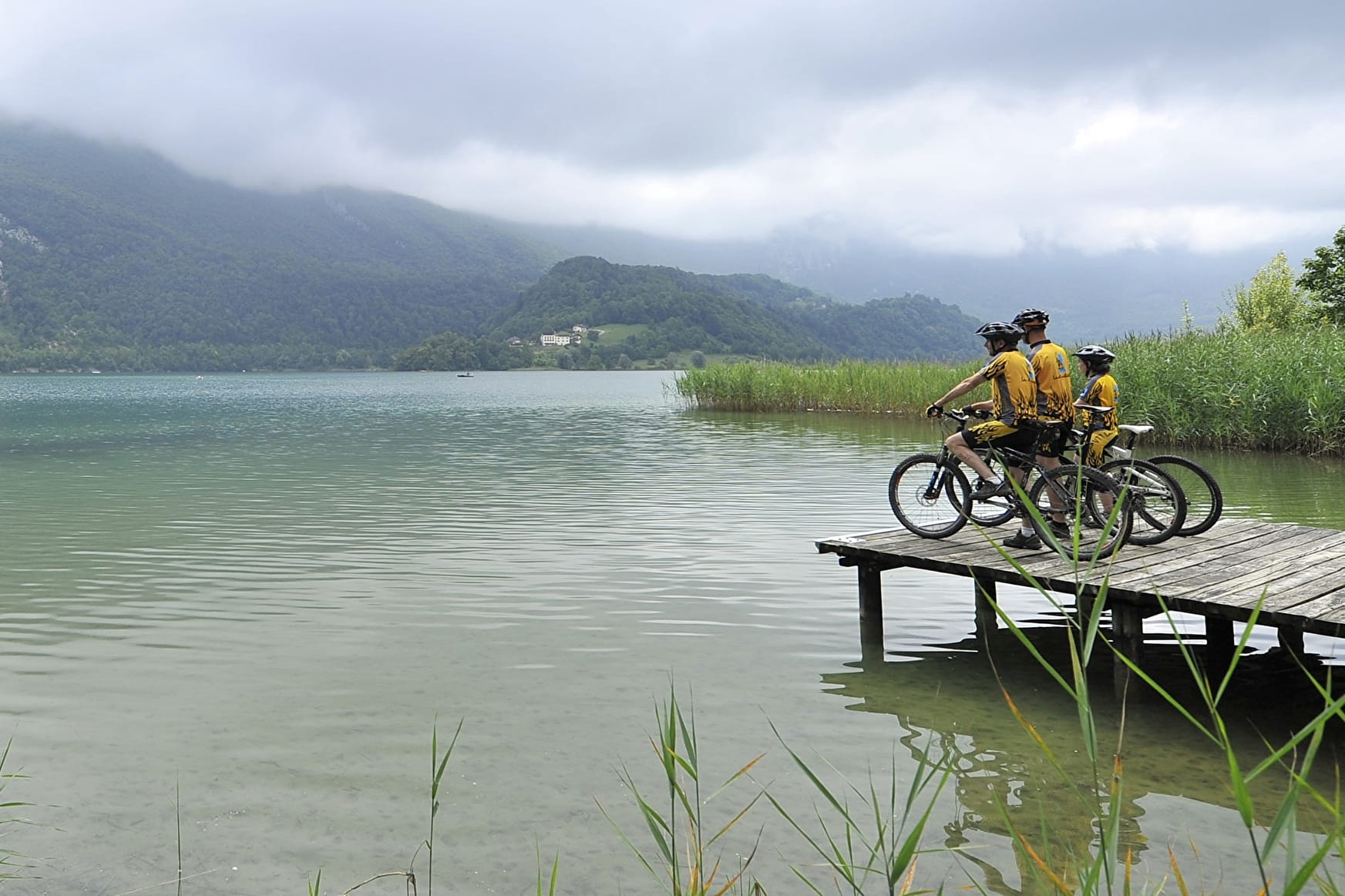
Mountain biking route 8 – On the route of La Chartreuse
Very difficult level. There are several difficult passage on the uphill route, so a good level of fitness is required.
Sport Mountain biking route 8 – On the route of La Chartreuse Nances
About

Reception
Period of practice
All year round.
Services
- Pets welcome