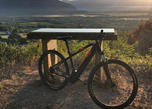
This mountain bike descent of average difficulty that links mountain relief and Rhône will make you discover the high Savoyard side of the Usses and Rhône territory. The departure is at the Clermont castle's parking lot (16th century - classified as historical monument) and ends at the Aqualoisirs nautical base.
- Sport
Mountain bike hike - descent down mountain bike from Clermont en Genevois
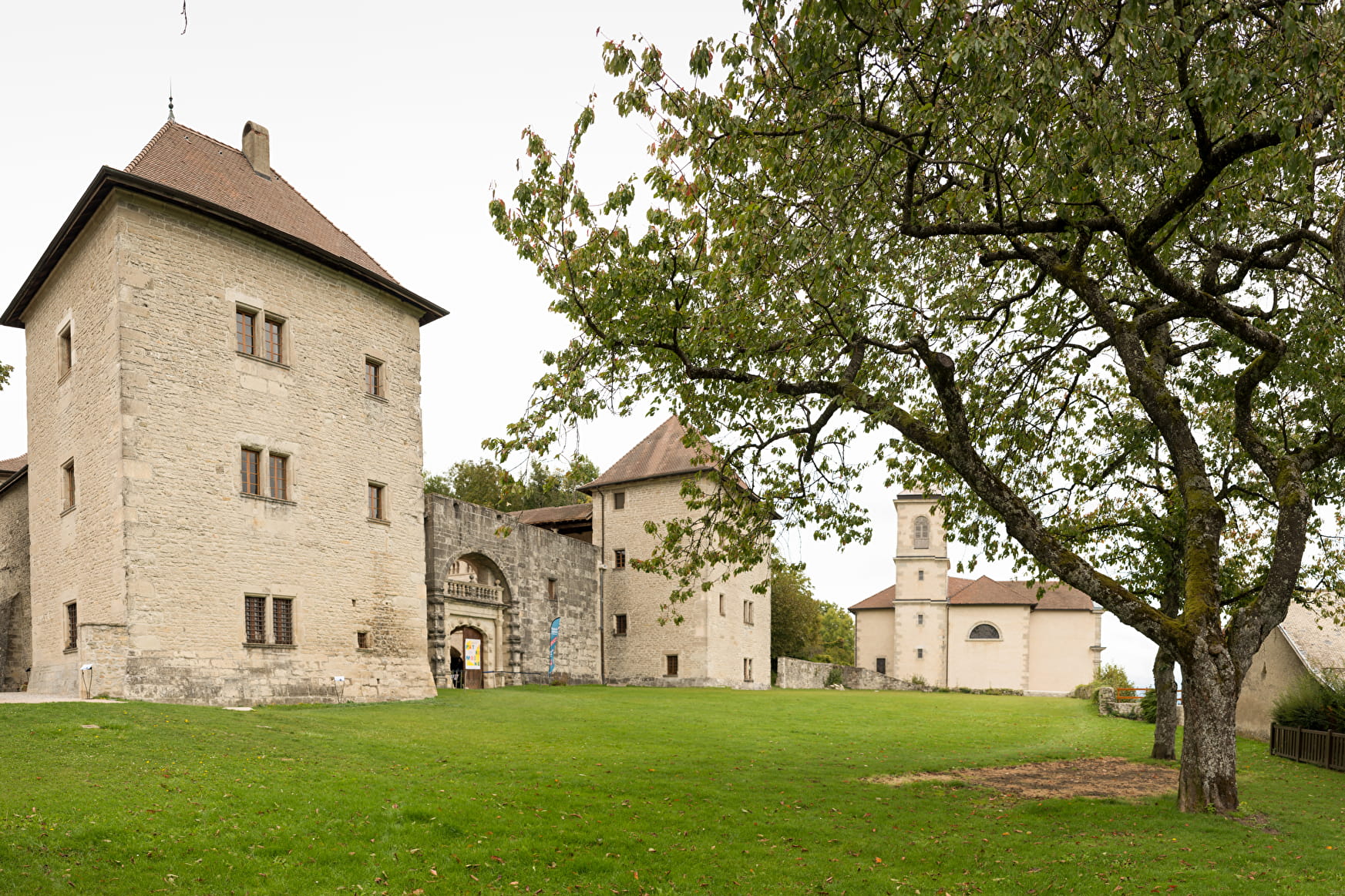
This average mountain bike descent will allow you to cross over the mountainous and agricultural plateaus of the Usses and Rhône territory. At the departure, at the Clermont castle, do not hesitate to visit this historical monument.
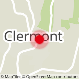
Sport Mountain bike hike - descent down mountain bike from Clermont en Genevois Clermont
About

Signs
Marking of the Haute-Savoie department
Topoguides references
Topo-guide n° 18 - Descent down mountan bike from Clermont to Seyssel
Further informations
Grit, Ground
1 1

Reception
Period of practice
All year round.