Duration 5h-6h
Physical level : difficult
Precautions:
- You take shared paths. Be careful and respectful of other practitioners.
- The routes you take are your own responsibility. You must choose a route adapted to your physical and technical capacity. If in doubt, do not hesitate to contact mountain professionals.
- Find out about the weather conditions before your departure.
- Be properly equipped to practice hiking in complete safety and deal with the vagaries of the weather.
- Tell someone if you are leaving alone and prefer a morning departure so as not to be surprised by the night.
- Sport
Montée Grand Plateau, descente par le lac vert de Valmeinier
This demanding circuit will allow you to arrive at Grand Plateau then to descend towards Valmeinier to discover the valley of the green lake. You have the possibility of taking the ski lifts in order to save part of the climb.
Sport Montée Grand Plateau, descente par le lac vert de Valmeinier Valloire
About

Further informations
Stone, Ground, Grit
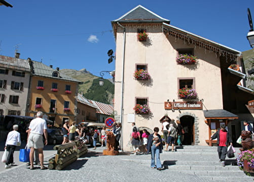
Departure - From the Tourist Office, head up rue des Grandes Alpes towards the hamlet of Les Verneys1 - Once you've crossed the bridge, walk along the parking lot to take the footbridge on the left of the main road to follow the "Vita Vittel" fitness trail2 - Once you're in front of the equestrian center, follow the wide dirt path to the right of the building. After a short climb, you'll see the Chapelle Saint Pierre. 3 - Once you've passed the Montissot chairlift, continue up the saddle track to the Les Mérégers restaurant. 4 - Continue towards Lac de la Vieille. 5 - Once at Lac de la Vieille, take the right-hand path towards Grand Plateau. 6 - Once at Grand Plateau, continue along the ridge as far as the pas de griffes (you'll need to carry your bike a few times). 7 - A technical descent takes you down to the valley as far as Lac Vert - 8 follow the path towards Valmeinier 1800. 9 - At the Inversin chairlift, take the left-hand path. 10 - Once you're in front of the Lycée Général Ferrié, take the carriage path to the right of the building. You'll pass through the state-owned forest to reach the Chapelle des trois Croix. 11 - Once you've reached the Chapelle des Trois Croix, follow the signs for the signposted path to the hamlet of Col. 12 - You'll pass through the hamlets of Les Granges and Les Choseaux-Ville before returning to the Tourist Office.
Precautions:
- You are using shared trails. Please be careful and respectful of other hikers.
- The routes you take are your own responsibility. Choose an itinerary suited to your physical and technical ability. If in doubt, don't hesitate to contact mountain professionals.
- Check weather conditions before setting off.
- Make sure you're properly equipped to hike safely and cope with the vagaries of the weather.
- Tell someone if you're going on your own, and make sure you leave in the morning so you don't get caught out at night.
Prices
Free access.
Reception
Period of practice
From 15/05 to 23/10.
Subject to favorable weather.
Services
- Pets welcome
- Restaurant
- Car park
- Free car park
- Picnic area