- Sport
Marcelly Mountain Biking Loop
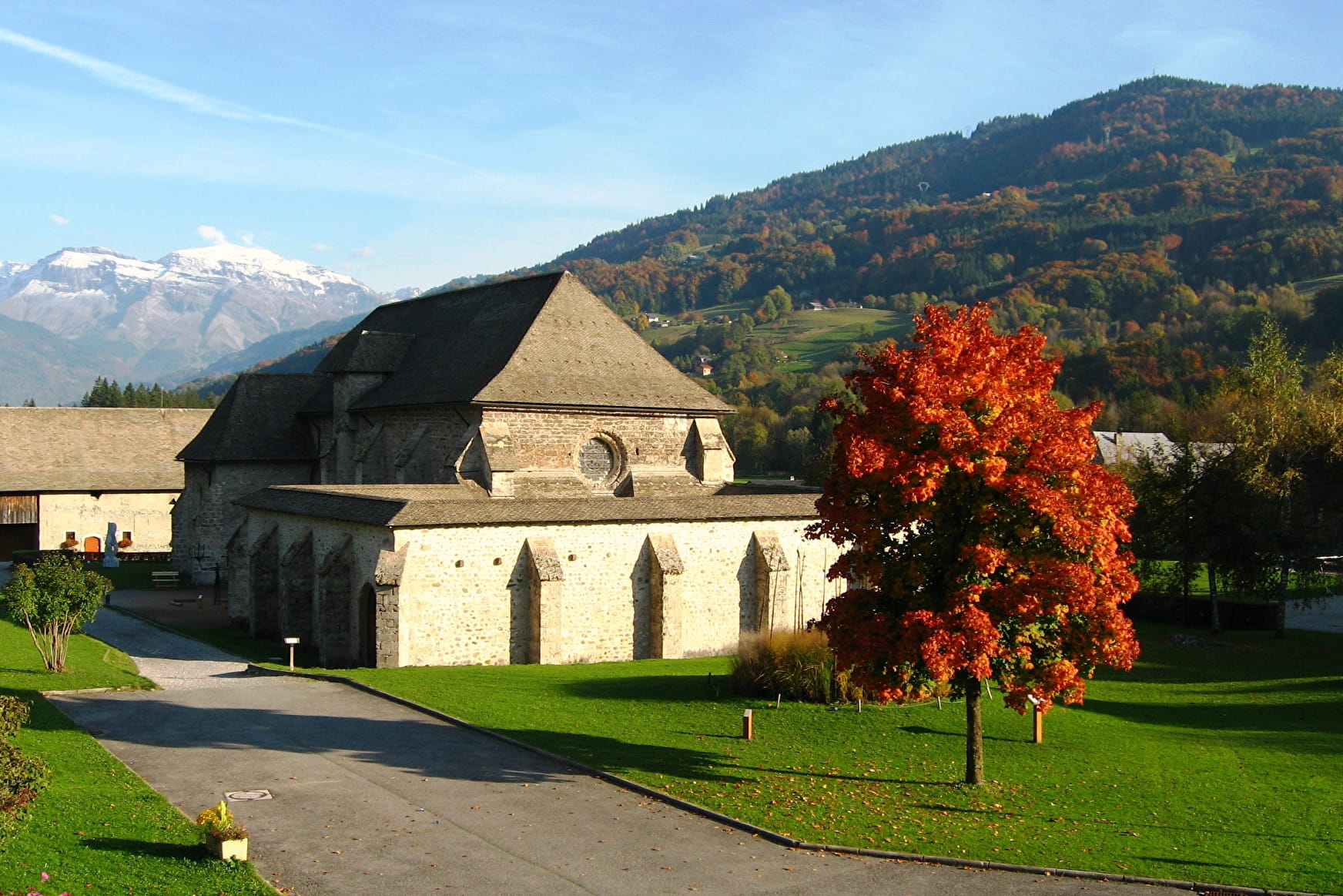
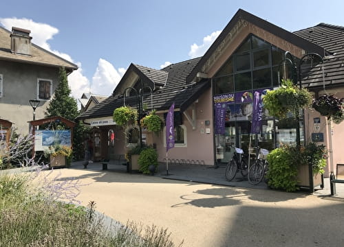
Departure from the town centre, in front of the town hall: This trail will take you on a tour of the Chartreuse de Mélan, the Lac de Flérier and along some very enjoyable tracks through the forest!
About


Ride alongside the river (Foron), on the left banks until you reach the Peguet firm, then go down Avenue de Mélan on the left that leads to the Chartreuse de Mélan with monumental sculptures in the grounds. Then pass under the archway and go along the tarmac road through the small business park. Go straight on through the forest until you reach the path along the banks of the Giffre. It’s worth stopping off at the Lac des Vernays (on your left) where you might see some water-skiing. Then carry on along the banks of the Giffre, back to the small business park. At the junction, go left and then right along a path that leads to the sports centre. Go around the campsite and then back to the banks of the Foron where you’ll turn left along the walkway. The green path through the undergrowth will lead you to the Lac de Flérier.
Then ride past the fish farm before reaching the road. At the junction, go left, cross the D907 to then reach the road that leads to Suets d’en Haut a few metres further on (with a short but steep uphill climb!). After crossing the small hamlet, carry on for a few metres and then turn right into the Briffes sector. The path then leads to “Sous Marcelly”, via “Vers Sache”. Carry on down the road to arrive in front of the bowls pitch and then ride alongside the Foron until you get back to the arrival point.
Prices
Free access.
Reception
Period of practice
From 15/05 to 15/11.
Subject to favorable snow and weather conditions.
- Pets welcome
- Car park
- Picnic area